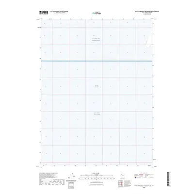
2023 Map of West of Wildcat Mountain SW
USGS Topo · Published 2023About this map
Great Salt Lake Desert dominates this Tooele County landscape, presenting a vast, desolate expanse of salt flats and arid terrain. This 2023 edition highlights the area's primary modern identity as a restricted military zone, specifically as part of the Utah Test and Training Range. Within this reservation lies the West Desert Test Center, a site critical to government testing and military operations. The map is notably sparse, reflecting the absence of civilian settlements or infrastructure in this portion of the Great Salt Lake Desert. The minimal topography and lack of roads underscore the isolation of these military installations, which are situated far from established towns in the Tooele region.
Find a feature on this map
3 named features on this map. Tap any name to fly to it.
Don’t see what you’re looking for? This feature index may not catch every label — zoom into the map to look around manually.
Map Details
Editions of this 2023 West of Wildcat Mountain SW Map
This is the sole edition of this map. No revisions or reprints were ever made.
Other maps of this area

1953 · Tooele
USGS Topo · 1:250,000

1955 · Tooele
USGS Topo · 1:250,000

1973 · Wildcat Mountain SW
USGS Topo · 1:24,000

1973 · Wildcat Mountain NW
USGS Topo · 1:24,000

1973 · Gold Hill 1 SE
USGS Topo · 1:24,000

1973 · Gold Hill 1 SW
USGS Topo · 1:24,000

1973 · Gold Hill 1 NE
USGS Topo · 1:24,000

1973 · Granite Peak NW
USGS Topo · 1:24,000
1973 · Gold Hill 4 NE
USGS Topo · 1:24,000
1973 · Gold Hill Wash
USGS Topo · 1:24,000