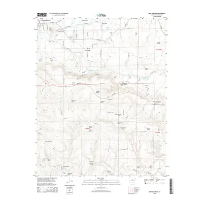
2014 Map of West Pangburn
USGS Topo · Published 2014About this map
Little Red River winds through this Cleburne County landscape, defining the topography from Heber Springs in the northwest to West Pangburn in the southeast. The river's influence is evident in the numerous named bends and crossings, including Cooter Neck Bend, Winkley Bridge, and historical crossing points like Helms Ford and Whitehead Ford. This 2014 survey documents the area's mix of rural residential development and significant elevation changes, anchored by landmarks such as Sugar Loaf Mtn and Libby Bluff. Local history is preserved in the location of family and community sites like Mt Zion Cem and Magness Cem. The map illustrates a transition from the structured street grid of the county seat to the winding hollows and ridges like Chinkapin Ridge and Walnut Ridge that dominate the southern reaches of the quadrangle.
Find a feature on this map
118 named features on this map. Tap any name to fly to it.
Don’t see what you’re looking for? This feature index may not catch every label — zoom into the map to look around manually.
Map Details
Editions of this 2014 West Pangburn Map
This is the sole edition of this map. No revisions or reprints were ever made.
Other maps of this area

1890 · Batesville
USGS Topo · 1:125,000

1891 · Batesville
USGS Topo · 1:125,000

1892 · Mountain View
USGS Topo · 1:125,000

1894 · Mountain View
USGS Topo · 1:125,000

1953 · Memphis
USGS Topo · 1:250,000

1956 · Memphis
USGS Topo · 1:250,000

1956 · Russellville
USGS Topo · 1:250,000

1962 · Pangburn
USGS Topo · 1:24,000

1962 · Letona
USGS Topo · 1:24,000

1963 · Rose Bud
USGS Topo · 1:24,000