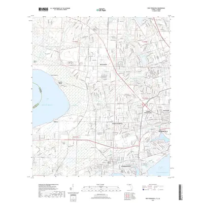
2018 Map of West Pensacola
USGS Topo · Published 2018About this map
Pensacola and its western suburbs unfold along a complex network of coastal waterways and established neighborhoods in this modern survey. The map details the residential expansion between Perdido Bay and Pensacola Bay, showing how communities like Myrtle Grove and West Pensacola have matured over decades. The landscape is defined by the winding course of Bayou Marcus and the low-lying wetlands of Jones Swamp, which separate the suburban tracts from the industrial and maritime zones near Bayou Chico.
Find a feature on this map
41 named features on this map. Tap any name to fly to it.
Don’t see what you’re looking for? This feature index may not catch every label — zoom into the map to look around manually.
Map Details
Editions of this 2018 West Pensacola Map
This is the sole edition of this map. No revisions or reprints were ever made.
Other maps of this area

1920 · Milton
USGS Topo · 1:62,500

1921 · Pensacola
USGS Topo · 1:62,500

1921 · Fort Barrancas
USGS Topo · 1:62,500

1921 · Muscogee
USGS Topo · 1:62,500

1941 · Fort Barrancas
USGS Topo · 1:62,500

1941 · Muscogee
USGS Topo · 1:62,500

1941 · Pensacola
USGS Topo · 1:62,500

1941 · Milton
USGS Topo · 1:62,500

1942 · Pensacola
USGS Topo · 1:62,500

1943 · Muscogee
USGS Topo · 1:62,500