
1959 Map of West Point
USGS Topo · Published 1960About this map
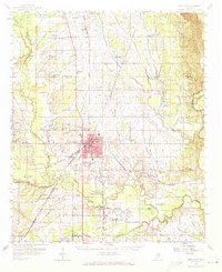
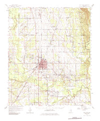
West Point serves as the industrial and educational hub of this late 1950s landscape, where the Illinois Central and Gulf Mobile and Ohio railroads intersect. The town is marked by the campus of Holmes Jr College and the local High Sch, surrounded by a dense network of country churches and schools that define rural life in Clay and Monroe counties. Significant waterways like Chuquatonchee Creek and Tibbee Creek frame the topography, supporting a landscape of agricultural plots and small landings.
Find a feature on this map
87 named features on this map. Tap any name to fly to it.
Don’t see what you’re looking for? This feature index may not catch every label — zoom into the map to look around manually.
Map Details
Editions of this 1959 West Point Map
3 editions found
Other maps of this area

1953 · West Point
USGS Topo · 1:250,000

1958 · West Point
USGS Topo · 1:250,000

1959 · Artesia
USGS Topo · 1:62,500

1959 · Van Vleet
USGS Topo · 1:62,500

1959 · Pheba
USGS Topo · 1:62,500

1960 · Caledonia
USGS Topo · 1:62,500

1960 · Columbus
USGS Topo · 1:62,500

1963 · West Point
USGS Topo · 1:250,000

1965 · Starkville
USGS Topo · 1:24,000

1966 · Aberdeen
USGS Topo · 1:24,000