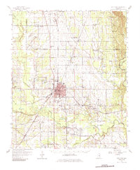
1959 Map of West Point
USGS Topo · Published 1986About this map
The city of West Point serves as the industrial and transportation hub of this late-1950s landscape, positioned at the convergence of the Gulf Mobile and Ohio, Illinois Central, and Columbus and Greenville railroads. The town's layout is defined by its educational and civic institutions, including the campus of Mary Holmes Jr College, a local Fish Hatchery, and a prominent Radio Tower (WROB). Outside the urban center, the terrain is shaped by the winding courses of Chuquatonchee Creek and Tibbee Creek, which feed into the Tombigbee River along the eastern boundary.
Find a feature on this map
107 named features on this map. Tap any name to fly to it.
Don’t see what you’re looking for? This feature index may not catch every label — zoom into the map to look around manually.
Map Details
Editions of this 1959 West Point Map
3 editions found
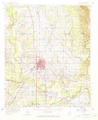
Other maps of this area

1953 · West Point
USGS Topo · 1:250,000

1958 · West Point
USGS Topo · 1:250,000

1959 · Artesia
USGS Topo · 1:62,500

1959 · West Point
USGS Topo · 1:62,500

1959 · Van Vleet
USGS Topo · 1:62,500

1959 · Pheba
USGS Topo · 1:62,500

1960 · Caledonia
USGS Topo · 1:62,500

1960 · Columbus
USGS Topo · 1:62,500

1963 · West Point
USGS Topo · 1:250,000

1965 · Starkville
USGS Topo · 1:24,000