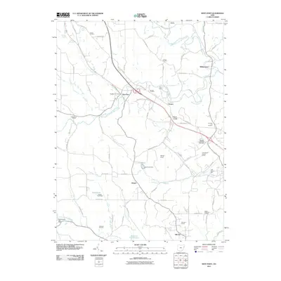
2010 Map of West Point
USGS Topo · Published 2010About this map
The West Point Post Office and the surrounding settlement of West Point anchor this rural landscape in Columbiana County. This 2010 survey illustrates a region defined by its complex drainage network and elevated terrain, most notably the prominent Round Knob. The area is densely dotted with genealogical markers, including the Scotch Settlement Cemetery, McKenzie Cemetery, and the uniquely named Roller Coaster Cemetery near Roller Coaster Rd.
Find a feature on this map
85 named features on this map. Tap any name to fly to it.
Don’t see what you’re looking for? This feature index may not catch every label — zoom into the map to look around manually.
Map Details
Editions of this 2010 West Point Map
This is the sole edition of this map. No revisions or reprints were ever made.
Other maps of this area

1904 · Wellsville
USGS Topo · 1:62,500

1905 · Salineville
USGS Topo · 1:62,500

1907 · Columbiana
USGS Topo · 1:62,500

1909 · Lisbon
USGS Topo · 1:62,500

1909 · Columbiana
USGS Topo · 1:62,500

1937 · Wellsville
USGS Topo · 1:62,500

1944 · Wellsville
USGS Topo · 1:62,500

1951 · Canton
USGS Topo · 1:250,000

1953 · Canton
USGS Topo · 1:250,000

1957 · Canton
USGS Topo · 1:250,000