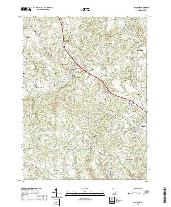
2023 Map of West Point
USGS Topo · Published 2023About this map
West Point and the surrounding Columbiana County landscape are defined by the winding tributaries of the Beaver Creek system. The terrain is marked by significant elevations like Round Knob, while the human history of the region is preserved in numerous family and community burial grounds including Carlisle Cem, Madison Cem, and the Scotch Settlement Cem. The Yellow Creek Presbyterian Church stands as a local landmark in the southern portion of the sheet, near the modern infrastructure of the Columbiana County Airport.
Find a feature on this map
100 named features on this map. Tap any name to fly to it.
Don’t see what you’re looking for? This feature index may not catch every label — zoom into the map to look around manually.
Map Details
Editions of this 2023 West Point Map
This is the sole edition of this map. No revisions or reprints were ever made.
Other maps of this area

1904 · Wellsville
USGS Topo · 1:62,500

1905 · Salineville
USGS Topo · 1:62,500

1907 · Columbiana
USGS Topo · 1:62,500

1909 · Lisbon
USGS Topo · 1:62,500

1909 · Columbiana
USGS Topo · 1:62,500

1937 · Wellsville
USGS Topo · 1:62,500

1944 · Wellsville
USGS Topo · 1:62,500

1951 · Canton
USGS Topo · 1:250,000

1953 · Canton
USGS Topo · 1:250,000

1957 · Canton
USGS Topo · 1:250,000