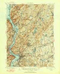
1941 Map of West Point
USGS Topo · Published 1951About this map
The West Point Military Reservation dominates the western bank of the Hudson River in this pre-war survey, overlooking iconic landmarks like Constitution Island and Gees Pt. The strategic geography of the Highlands is clear, with defensive sites like Fort Defiance and Fort Hill positioned above the river's narrows. To the east, the landscape transitions into the wooded uplands of Clarence Fahnestock Memorial Park and the engineering works of the Catskill Aqueduct.
Find a feature on this map
240 named features on this map. Tap any name to fly to it.
Don’t see what you’re looking for? This feature index may not catch every label — zoom into the map to look around manually.
Map Details
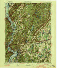
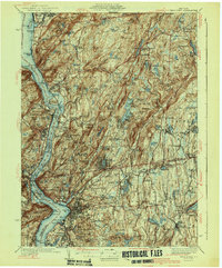
Editions of this 1941 West Point Map
3 editions found
Other maps of this area

1891 · Ramapo
USGS Topo · 1:62,500

1892 · Stamford
USGS Topo · 1:62,500

1892 · West Point
USGS Topo · 1:62,500

1892 · Carmel
USGS Topo · 1:62,500

1892 · Tarrytown
USGS Topo · 1:62,500

1893 · Carmel
USGS Topo · 1:62,500

1893 · Stamford
USGS Topo · 1:62,500

1893 · Tarrytown
USGS Topo · 1:62,500

1893 · Ramapo
USGS Topo · 1:62,500

1893 · Clove
USGS Topo · 1:62,500