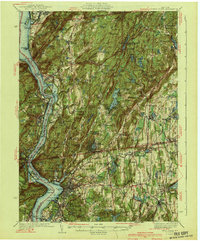
1941 Map of West Point
USGS Topo · Published 1941About this map
Hudson River geography dominates this 1941 survey, showing the corridor during a period of significant military and infrastructure development. The West Point Military Reservation and State Military Reservation at Camp Smith occupy a substantial portion of the western highlands, while the New York Central RR traces the river’s edge. The map captures the transition from traditional river-bound settlements like Cold Spring and Garrison to the expansion of parkway systems, including the Bronx River Parkway.
Find a feature on this map
186 named features on this map. Tap any name to fly to it.
Don’t see what you’re looking for? This feature index may not catch every label — zoom into the map to look around manually.
Map Details
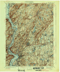
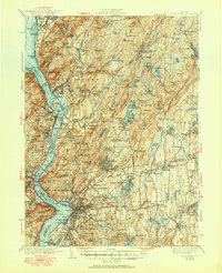
Editions of this 1941 West Point Map
3 editions found
Other maps of this area

1891 · Ramapo
USGS Topo · 1:62,500

1892 · Stamford
USGS Topo · 1:62,500

1892 · West Point
USGS Topo · 1:62,500

1892 · Carmel
USGS Topo · 1:62,500

1892 · Tarrytown
USGS Topo · 1:62,500

1893 · Carmel
USGS Topo · 1:62,500

1893 · Stamford
USGS Topo · 1:62,500

1893 · Tarrytown
USGS Topo · 1:62,500

1893 · Ramapo
USGS Topo · 1:62,500

1893 · Clove
USGS Topo · 1:62,500