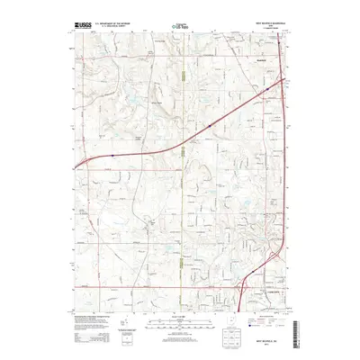
2013 Map of West Richfield
USGS Topo · Published 2013About this map
The boundary between Medina and Summit counties bisects this landscape of glacial lakes and established township roads. In the northeast corner, a portion of the Cuyahoga Valley National Park sits adjacent to the village of Richfield, while the southern reaches show the early 21st-century growth of Fairlawn and Montrose. The terrain is characterized by geological landmarks like Whipps Ledges and Wordens Ledges, alongside a network of smaller water bodies such as Crystal Lake and Bath Pond.
Find a feature on this map
195 named features on this map. Tap any name to fly to it.
Don’t see what you’re looking for? This feature index may not catch every label — zoom into the map to look around manually.
Map Details
Editions of this 2013 West Richfield Map
This is the sole edition of this map. No revisions or reprints were ever made.
Other maps of this area

1902 · Berea
USGS Topo · 1:62,500

1903 · Cleveland
USGS Topo · 1:62,500

1903 · Akron
USGS Topo · 1:62,500

1904 · Berea
USGS Topo · 1:62,500

1904 · Medina
USGS Topo · 1:62,500

1905 · Akron
USGS Topo · 1:62,500

1906 · Medina
USGS Topo · 1:62,500

1950 · Cleveland
USGS Topo · 1:250,000

1953 · Broadview Heights
USGS Topo · 1:24,000

1953 · Berea
USGS Topo · 1:24,000