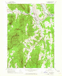
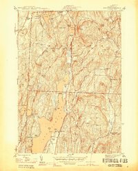
1964 Map of West Rutland
USGS Topo · Published 1965About this map
West Rutland and the surrounding marble-producing valleys of Rutland County are depicted here during the early 1960s. The landscape is defined by the industrial legacy of numerous Quarries and Gravel Pits that supported the local economy. Heavy rail infrastructure, including the Delaware and Hudson Railroad and the Clarendon and Pittsford Railroad, follows the contours of the Castleton River and Otter Creek, providing a glimpse into the transport networks that connected these remote settlements.
Find a feature on this map
44 named features on this map. Tap any name to fly to it.
Don’t see what you’re looking for? This feature index may not catch every label — zoom into the map to look around manually.
Map Details
Editions of this 1964 West Rutland Map
4 editions found
Other maps of this area

1891 · Rutland
USGS Topo · 1:62,500

1893 · Wallingford
USGS Topo · 1:62,500

1893 · Rutland
USGS Topo · 1:62,500

1894 · Pawlet
USGS Topo · 1:62,500

1895 · Castleton
USGS Topo · 1:62,500

1897 · Pawlet
USGS Topo · 1:62,500

1897 · Castleton
USGS Topo · 1:62,500

1903 · Mettawee
USGS Topo · 1:125,000

1944 · Proctor
USGS Topo · 1:31,680
1944 · Bomoseen
USGS Topo · 1:31,680