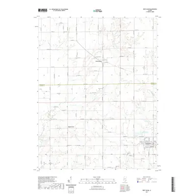
2021 Map of West Salem
USGS Topo · Published 2021About this map
West Salem serves as the primary hub in this corner of Southern Illinois, situated at the southern end of a landscape defined by its creek valleys and rural cemeteries. The village layout is detailed with street names like W Liberty St and W Seminary St, housing several denominational landmarks including the Moravian Cem and Seventh Day Adventist Cem. To the north, the small settlement of Parkersburg sits along the border of Richland and Edwards counties.
Find a feature on this map
58 named features on this map. Tap any name to fly to it.
Don’t see what you’re looking for? This feature index may not catch every label — zoom into the map to look around manually.
Map Details
Editions of this 2021 West Salem Map
This is the sole edition of this map. No revisions or reprints were ever made.
Other maps of this area

1903 · Patoka
USGS Topo · 1:125,000

1904 · Mount Carmel
USGS Topo · 1:62,500

1911 · Sumner
USGS Topo · 1:62,500

1913 · Sumner
USGS Topo · 1:62,500

1943 · Albion
USGS Topo · 1:62,500

1946 · Albion
USGS Topo · 1:62,500

1949 · Olney
USGS Topo · 1:62,500

1956 · Vincennes
USGS Topo · 1:250,000

1957 · Vincennes
USGS Topo · 1:250,000

1958 · Vincennes
USGS Topo · 1:250,000