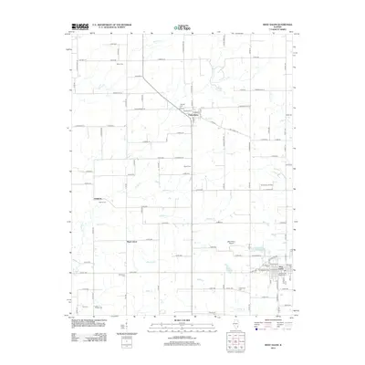
2024 Map of West Salem
USGS Topo · Published 2024About this map
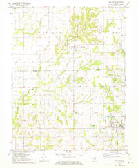
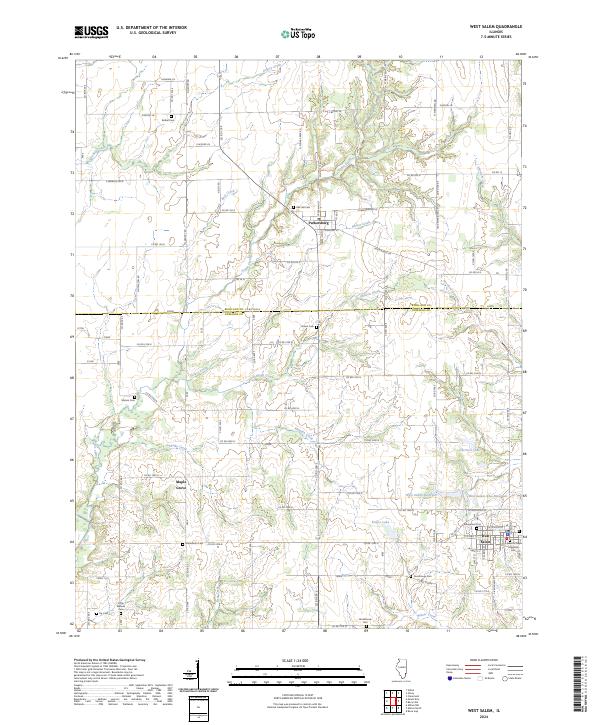
West Salem and Parkersburg anchor this section of Southeastern Illinois, where the border of Richland and Edwards counties divides a landscape of creek valleys and rural cemeteries. The area is defined by its water management and agricultural heritage, featuring several significant bodies of water including the West Salem Reservoir, the West Salem New Reservoir, and Krajec Lake. These reservoirs suggest a community adapting its local infrastructure to meet changing water needs over time.
Find a feature on this map
38 named features on this map. Tap any name to fly to it.
Don’t see what you’re looking for? This feature index may not catch every label — zoom into the map to look around manually.
Map Details
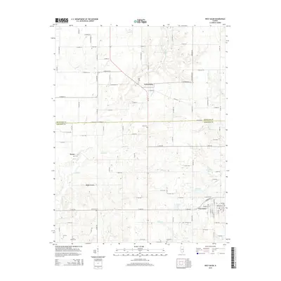
Editions of this 2024 West Salem Map
This is the sole edition of this map. No revisions or reprints were ever made.
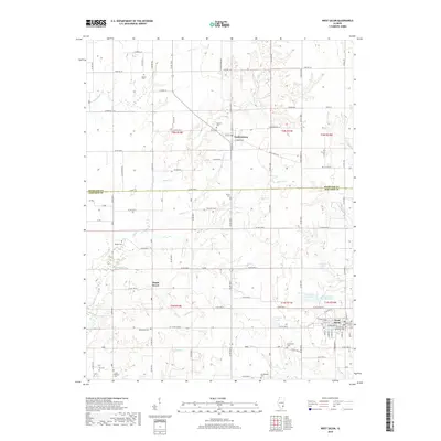
Historical Maps of West Salem Through Time
6 maps found