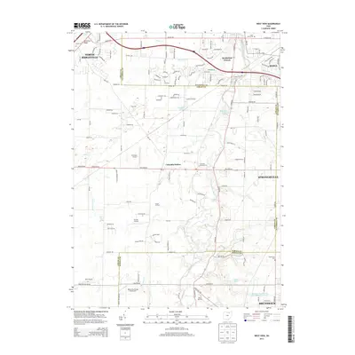
2013 Map of West View
USGS Topo · Published 2013About this map
Columbia Station and the surrounding townships at the borders of Cuyahoga, Lorain, and Medina counties are defined by the winding course of the West Branch Rocky River. In this 2013 survey, the landscape reveals a transition from the established suburban fringes of North Ridgeville and Olmsted Falls to more open terrain characterized by small airfields and legacy family landmarks. Local history is anchored by several burial sites, including the centrally located Columbia Township Cem and the Beebetown Cem near the southern boundary. Aviation enthusiasts can find three distinct flight facilities: Columbia Airport, Dorton Airpark, and the Valley City Flying Club Airport. The presence of several small water bodies like Jaquay Lake and Wuteswood Lake along Plum Cr suggests the enduring character of the local watershed even as residential developments like Hidden Oaks Dr expand into the area.
Find a feature on this map
41 named features on this map. Tap any name to fly to it.
Don’t see what you’re looking for? This feature index may not catch every label — zoom into the map to look around manually.
Map Details
Editions of this 2013 West View Map
This is the sole edition of this map. No revisions or reprints were ever made.
Other maps of this area

1901 · Oberlin
USGS Topo · 1:62,500

1902 · Berea
USGS Topo · 1:62,500

1903 · Oberlin
USGS Topo · 1:62,500

1904 · Berea
USGS Topo · 1:62,500

1904 · Medina
USGS Topo · 1:62,500

1904 · Wellington
USGS Topo · 1:62,500

1906 · Medina
USGS Topo · 1:62,500

1906 · Wellington
USGS Topo · 1:62,500

1950 · Cleveland
USGS Topo · 1:250,000

1953 · West View
USGS Topo · 1:24,000