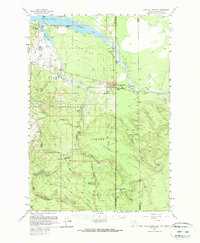
1958 Map of West Yellowstone
USGS Topo · Published 1966About this map
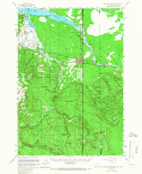
West Yellowstone serves as the focal point of this late 1950s survey, marking a critical transition between the wild high country and the gateway to Yellowstone National Park. This map captures the region as it existed just before the massive 1959 earthquake, showing the original shoreline of Hebgen Lake and the intact drainage of the Madison River. The infrastructure of the era is preserved through the Union Pacific rail line terminal and the Airfield, while local leisure and work are evidenced by the Rodeo Grounds and Pulp Camp.
Find a feature on this map
62 named features on this map. Tap any name to fly to it.
Don’t see what you’re looking for? This feature index may not catch every label — zoom into the map to look around manually.
Map Details
Editions of this 1958 West Yellowstone Map
3 editions found

Other maps of this area

1885 · Gallatin
USGS Topo · 1:125,000

1885 · Gallatin
USGS Topo · 1:125,000

1886 · Shoshone
USGS Topo · 1:125,000

1888 · Shoshone
USGS Topo · 1:125,000

1895 · Shoshone
USGS Topo · 1:125,000

1901 · Shoshone
USGS Topo · 1:125,000

1901 · Gallatin
USGS Topo · 1:125,000

1908 · Gallatin
USGS Topo · 1:125,000

1908 · Shoshone
USGS Topo · 1:125,000

1911 · Shoshone
USGS Topo · 1:125,000
Featured Places
- West Yellowstone, MT
- Railroad Summer Home Area, MT
- Lonesome Hurst Summer Home Area, MT
- Romsett Summer Home Area, MT
- Lakeshore Summer Home Area, MT