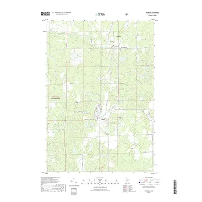
2018 Map of Westboro
USGS Topo · Published 2018About this map
The Mondeaux River and Black River drainage basins define this central Wisconsin landscape, where the settlements of Westboro and Chelsea anchor the rural corridor along State Highway 13. This 2018 survey illustrates a complex glacial topography within the Chequamegon National Forest, characterized by numerous kettle holes and lakes such as Little Chelsea Lake, Skinner Lake, and Bullhead Lake. The presence of the Ice Age National Scenic Trail winding through the eastern half of the map highlights the distinct geological heritage of Taylor County.
Find a feature on this map
55 named features on this map. Tap any name to fly to it.
Don’t see what you’re looking for? This feature index may not catch every label — zoom into the map to look around manually.
Map Details
Editions of this 2018 Westboro Map
This is the sole edition of this map. No revisions or reprints were ever made.
Other maps of this area

1902 · Marathon
USGS Topo · 1:125,000

1944 · Ogema
USGS Topo · 1:48,000

1945 · Rib Lake
USGS Topo · 1:48,000

1947 · Rib Lake
USGS Topo · 1:48,000

1947 · Ogema
USGS Topo · 1:48,000

1949 · Ogema
USGS Topo · 1:48,000

1949 · Rib Lake
USGS Topo · 1:48,000

1951 · Athens
USGS Topo · 1:48,000

1951 · Medford
USGS Topo · 1:48,000

1953 · Rice Lake
USGS Topo · 1:250,000