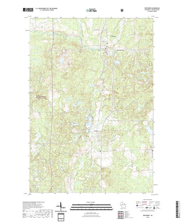
2022 Map of Westboro
USGS Topo · Published 2022About this map
The Mondeaux River and Silver Cr headwaters define this Taylor County landscape, where the settlements of Westboro and Chelsea anchor the local road network. This region is characterized by an intricate mosaic of glacial lakes and wetlands, including Half Moon Lake, Bullhead Lake, and the larger Chelsea Lake. Much of the western territory is protected within the Chequamegon National Forest, where the Ice Age National Scenic Trl winds through the forested terrain. Genealogists will find significant value in the distribution of local burial grounds, such as Northside Cem near Westboro, Mount Olive Cem, and Saint Ann Cem further south. The map documents a rural economy structured around small communities and natural water features, with Queenstown situated east of the primary transit corridor formed by State Hwy 13 Bus.
Find a feature on this map
62 named features on this map. Tap any name to fly to it.
Don’t see what you’re looking for? This feature index may not catch every label — zoom into the map to look around manually.
Map Details
Editions of this 2022 Westboro Map
This is the sole edition of this map. No revisions or reprints were ever made.
Other maps of this area

1902 · Marathon
USGS Topo · 1:125,000

1944 · Ogema
USGS Topo · 1:48,000

1945 · Rib Lake
USGS Topo · 1:48,000

1947 · Rib Lake
USGS Topo · 1:48,000

1947 · Ogema
USGS Topo · 1:48,000

1949 · Ogema
USGS Topo · 1:48,000

1949 · Rib Lake
USGS Topo · 1:48,000

1951 · Athens
USGS Topo · 1:48,000

1951 · Medford
USGS Topo · 1:48,000

1953 · Rice Lake
USGS Topo · 1:250,000