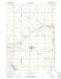
1967 Map of Westbrook
USGS Topo · Published 1991About this map
The agricultural landscape of Murray and Cottonwood Counties is centered on Westbrook, a community shaped by the presence of the Chicago and North Western railroad line. This late 1960s survey illustrates a region defined by its managed water systems and glacial remnants, including the expansive Snow Lakebed and the engineered Judicial Ditch No 3. These features, along with the Sewage Disposal Ponds and numerous Gravel Pits, highlight the local infrastructure required to support the prairie township's development.
Find a feature on this map
24 named features on this map. Tap any name to fly to it.
Don’t see what you’re looking for? This feature index may not catch every label — zoom into the map to look around manually.
Map Details
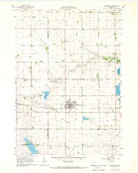
Editions of this 1967 Westbrook Map
2 editions found
Other maps of this area

1953 · New Ulm
USGS Topo · 1:250,000

1954 · Fairmont
USGS Topo · 1:250,000

1957 · New Ulm
USGS Topo · 1:250,000

1958 · New Ulm
USGS Topo · 1:250,000

1958 · Fairmont
USGS Topo · 1:250,000

1967 · New Ulm
USGS Topo · 1:250,000

1967 · Walnut Grove
USGS Topo · 1:24,000

1967 · Tracy East
USGS Topo · 1:24,000

1967 · Storden
USGS Topo · 1:24,000

1967 · Dovray
USGS Topo · 1:24,000