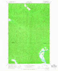
1956 Map of Western
USGS Topo · Published 1968About this map
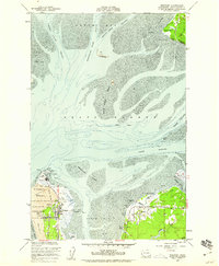
Western sits at a geographic pivot point in the coastal terrain of Southwest Washington, marking a small settlement near the headwaters of the Johns River. The landscape is defined by an intricate network of waterways draining toward the coast, including the Elk River and the branching systems of the Middle Branch and East Branch. This 1950s-era survey documents a region where industry and geography meet, evidenced by the extensive Levee and Piling structures along the North River near the border of Grays Harbor Co and Pacific Co. The map records the early engineering of the coastal plains, showing the transition from natural drainage like Barlow Creek and Gold Creek to human-altered features such as the Crawford Ditch. Genealogists and local historians can use these specific creek and river labels to pinpoint old property boundaries and drainage projects common to the era's land management.
Find a feature on this map
20 named features on this map. Tap any name to fly to it.
Don’t see what you’re looking for? This feature index may not catch every label — zoom into the map to look around manually.
Map Details
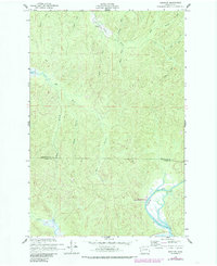
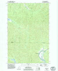
Editions of this 1956 Western Map
4 editions found

Other maps of this area

1938 · Cape Shoalwater
USGS Topo · 1:62,500

1938 · South Bend
USGS Topo · 1:62,500

1940 · South Bend
USGS Topo · 1:62,500

1941 · Grayland
USGS Topo · 1:62,500

1943 · Copalis Beach
USGS Topo · 1:250,000

1951 · Copalis Beach
USGS Topo · 1:250,000

1953 · Hoquiam
USGS Topo · 1:250,000

1955 · Aberdeen SE
USGS Topo · 1:24,000
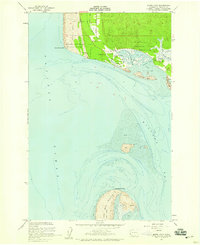
1956 · North Cove
USGS Topo · 1:24,000
1956 · Westport
USGS Topo · 1:24,000