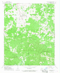
1967 Map of Western Grove
USGS Topo · Published 1968About this map
The Buffalo River winds through the southern portion of this landscape, carving through a region defined by scattered mountain springs and hollows across the borders of Newton, Boone, Searcy, and Marion counties. In the late 1960s, the settlement of Western Grove served as a central hub, while smaller communities like Yardelle and Pindall were connected by a landscape transitioning away from its rail history, as evidenced by the Old Railroad Grade running near Mill Creek.
Find a feature on this map
50 named features on this map. Tap any name to fly to it.
Don’t see what you’re looking for? This feature index may not catch every label — zoom into the map to look around manually.
Map Details
Editions of this 1967 Western Grove Map
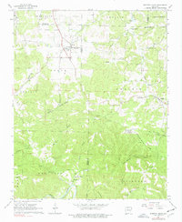
2 editions found
Other maps of this area

1892 · Marshall
USGS Topo · 1:125,000

1893 · Yellville
USGS Topo · 1:125,000

1894 · Marshall
USGS Topo · 1:125,000

1901 · Marshall
USGS Topo · 1:125,000

1903 · Yellville
USGS Topo · 1:125,000

1904 · Harrison
USGS Topo · 1:125,000

1905 · Harrison
USGS Topo · 1:125,000

1905 · Yellville
USGS Topo · 1:125,000

1929 · Yellville
USGS Topo · 1:125,000

1933 · Mt Judea
USGS Topo · 1:62,500