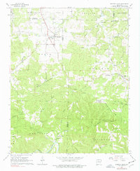
1967 Map of Western Grove
USGS Topo · Published 1977About this map
The Western Grove community and the nearby settlement of Pindall anchor this landscape during the mid-1960s, a region defined by the complex topography of the Ozarks where the borders of Boone, Newton, and Searcy counties converge. The rugged terrain is marked by numerous family-named landmarks and essential rural institutions, including Union Ch and several burial grounds like Mt Hersey Cem and Pinhook Cem.
Find a feature on this map
49 named features on this map. Tap any name to fly to it.
Don’t see what you’re looking for? This feature index may not catch every label — zoom into the map to look around manually.
Map Details
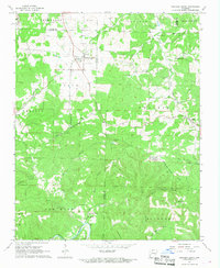
Editions of this 1967 Western Grove Map
2 editions found
Other maps of this area

1892 · Marshall
USGS Topo · 1:125,000

1893 · Yellville
USGS Topo · 1:125,000

1894 · Marshall
USGS Topo · 1:125,000

1901 · Marshall
USGS Topo · 1:125,000

1903 · Yellville
USGS Topo · 1:125,000

1904 · Harrison
USGS Topo · 1:125,000

1905 · Harrison
USGS Topo · 1:125,000

1905 · Yellville
USGS Topo · 1:125,000

1929 · Yellville
USGS Topo · 1:125,000

1933 · Mt Judea
USGS Topo · 1:62,500