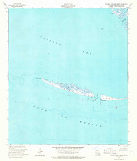
1953 Map of Western Isles Dernieres
USGS Topo · Published 1966About this map
Isles Dernieres stretches across this mid-century survey, forming a critical barrier between the open Gulf of Mexico and the calmer waters of Caillou Bay. This coastal landscape in Terrebonne Parish is characterized by shifting sandy points and tidal inlets, most notably Raccoon Point and Coon Point at the western terminus of the island chain. The map provides a look at the maritime geography before decades of coastal erosion further altered these barrier islands.
Find a feature on this map
10 named features on this map. Tap any name to fly to it.
Don’t see what you’re looking for? This feature index may not catch every label — zoom into the map to look around manually.
Map Details
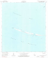
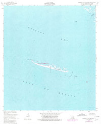
Editions of this 1953 Western Isles Dernieres Map
4 editions found
Other maps of this area

1935 · Oyster Bayou
USGS Topo · 1:62,500

1945 · New Orleans
USGS Topo · 1:250,000
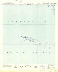
1947 · West Derniere
USGS Topo · 1:31,680

1949 · Grand Bayou Du Large
USGS Topo · 1:31,680
1949 · Dog Lake
USGS Topo · 1:31,680
1950 · Derniere
USGS Topo · 1:31,680
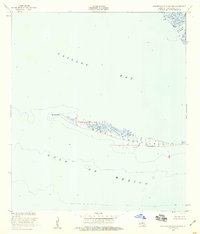
1953 · Western Isles Dernieres
USGS Topo · 1:24,000
1953 · Central Isles Dernieres
USGS Topo · 1:24,000
1953 · Dog Lake
USGS Topo · 1:24,000
1953 · Grand Bayou Du Large
USGS Topo · 1:24,000