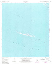
1953 Map of Western Isles Dernieres
USGS Topo · Published 1981About this map
Isles Dernieres and the shifting coastal geography of Terrebonne Parish are the focus of this mid-century topographic survey, revised through the late 1970s. This specific reach highlights the western extremity of the barrier island chain, defined by Raccoon Point and Coon Point, separating the open Gulf of Mexico from the protected waters of Caillou Bay.
Find a feature on this map
10 named features on this map. Tap any name to fly to it.
Don’t see what you’re looking for? This feature index may not catch every label — zoom into the map to look around manually.
Map Details
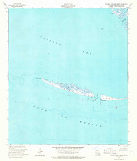
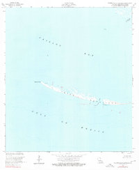
Editions of this 1953 Western Isles Dernieres Map
4 editions found
Other maps of this area

1935 · Oyster Bayou
USGS Topo · 1:62,500

1945 · New Orleans
USGS Topo · 1:250,000
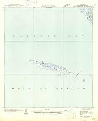
1947 · West Derniere
USGS Topo · 1:31,680

1949 · Grand Bayou Du Large
USGS Topo · 1:31,680
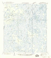
1949 · Dog Lake
USGS Topo · 1:31,680
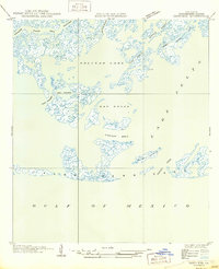
1950 · Derniere
USGS Topo · 1:31,680
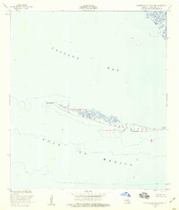
1953 · Western Isles Dernieres
USGS Topo · 1:24,000
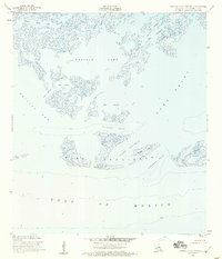
1953 · Central Isles Dernieres
USGS Topo · 1:24,000
1953 · Dog Lake
USGS Topo · 1:24,000
1953 · Grand Bayou Du Large
USGS Topo · 1:24,000