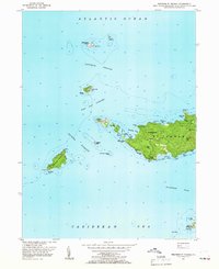
1955 Map of Western St. Thomas
USGS Topo · Published 1966About this map
Fortuna serves as the primary upland settlement on this 1955 survey of the western reaches of St Thomas. The landscape is defined by its dramatic coastal topography, where prominent peaks like Bordeaux Hill and Fortuna Hill overlook a coastline deeply indented by Botany Bay, Barents Bay, and Stumpy Bay. A network of light-duty and unimproved roads connects the interior ridges to the shore, illustrating the island's mid-century accessibility.
Find a feature on this map
47 named features on this map. Tap any name to fly to it.
Don’t see what you’re looking for? This feature index may not catch every label — zoom into the map to look around manually.
Map Details
Editions of this 1955 Western St. Thomas Map
5 editions found
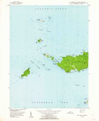
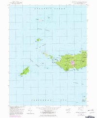
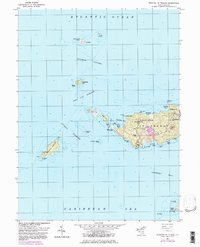
Other maps of this area
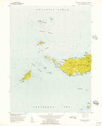
1955 · Western St. Thomas
USGS Topo · 1:24,000
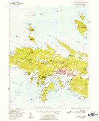
1955 · Central St. Thomas
USGS Topo · 1:24,000
2013 · Savana Passage OE N
USGS Topo · 1:20,000
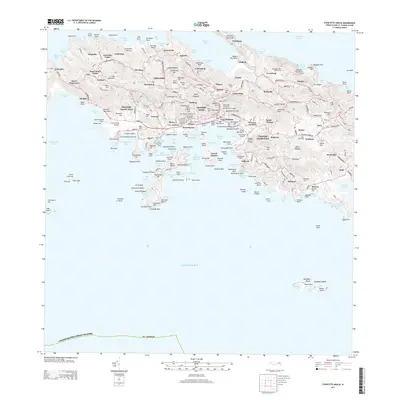
2013 · Charlotte Amalie
USGS Topo · 1:20,000
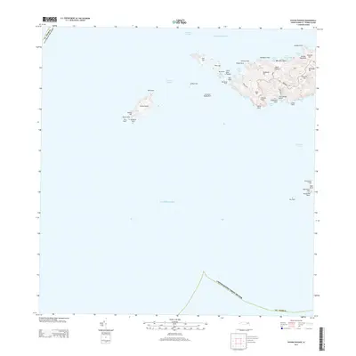
2013 · Savana Passage
USGS Topo · 1:20,000
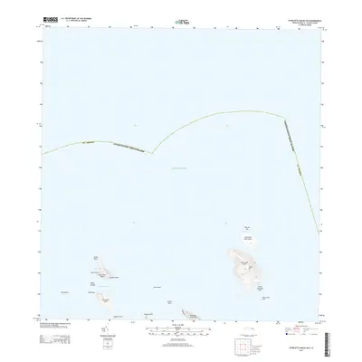
2013 · Charlotte Amalie OE N
USGS Topo · 1:20,000
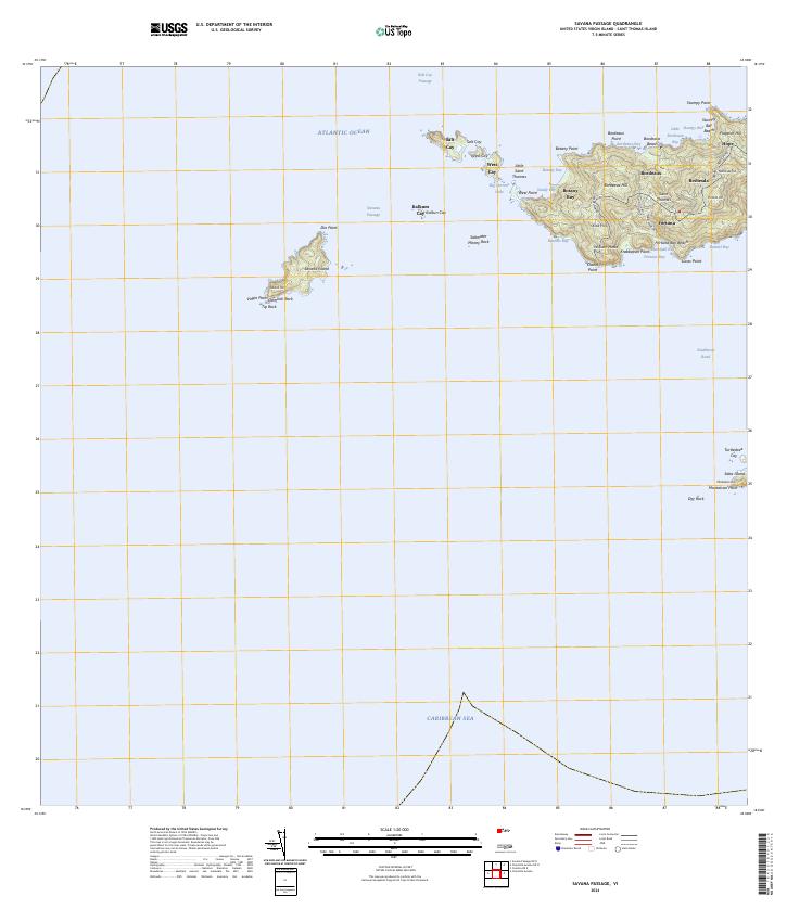
2024 · Savana Passage
USGS Topo · 1:20,000
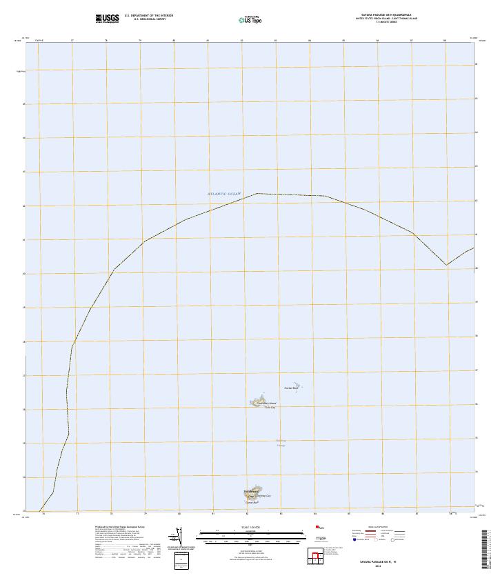
2024 · Savana Passage OE N
USGS Topo · 1:20,000
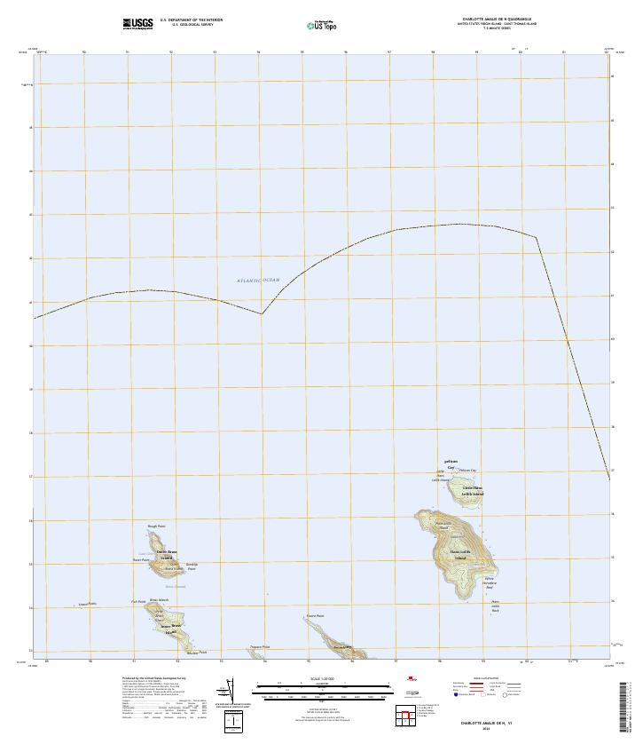
2024 · Charlotte Amalie OE N
USGS Topo · 1:20,000
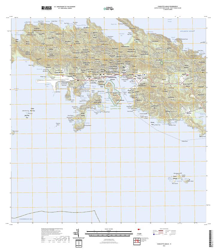
2024 · Charlotte Amalie
USGS Topo · 1:20,000
Featured Places
- Fortuna, Saint Thomas - Saint John District
- United States Virgin Islands
- Saint Thomas - Saint John District