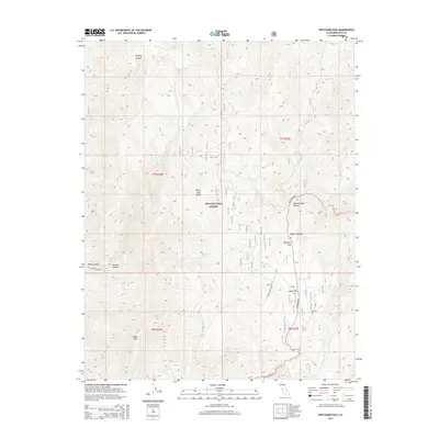
2015 Map of Westgard Pass
USGS Topo · Published 2015About this map
Westgard Pass serves as the primary corridor through the White-Inyo Range within the Inyo National Forest. This high-altitude landscape is defined by its dramatic topographic relief, featuring deep incisions like Redding Canyon and Payson Canyon that drain the eastern slopes. The presence of the Bristlecone Admin Site near Cedar Flat highlights the area's importance for forest management and the preservation of rare subalpine environments.
Find a feature on this map
18 named features on this map. Tap any name to fly to it.
Don’t see what you’re looking for? This feature index may not catch every label — zoom into the map to look around manually.
Map Details
Editions of this 2015 Westgard Pass Map
This is the sole edition of this map. No revisions or reprints were ever made.
Other maps of this area

1913 · Bishop
USGS Topo · 1:125,000

1947 · Mariposa
USGS Topo · 1:250,000

1948 · Mariposa
USGS Topo · 1:250,000

1949 · Bishop
USGS Topo · 1:62,500

1950 · Big Pine
USGS Topo · 1:62,500

1951 · Bishop
USGS Topo · 1:62,500

1951 · Blanco Mountain
USGS Topo · 1:62,500

1951 · Waucoba Mtn.
USGS Topo · 1:62,500

1957 · Mariposa
USGS Topo · 1:250,000
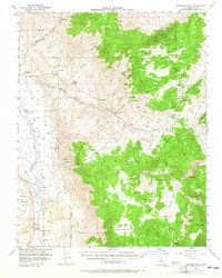
1958 · Waucoba Mtn
USGS Topo · 1:62,500