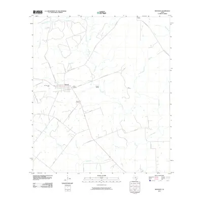
2010 Map of Westhoff
USGS Topo · Published 2010About this map
Westhoff serves as the central hub for this DeWitt County landscape, positioned near the intersection of several rural routes and the headwaters of Birds Creek. The town's historic footprint is anchored by Saint Aloysius Cemetery and the Westhoff Cemetery, while the surrounding countryside is defined by a dense network of ranch roads and family-named landmarks such as Barnhart Ranch Rd and the nearby Barnhart Lake Dam.
Find a feature on this map
36 named features on this map. Tap any name to fly to it.
Don’t see what you’re looking for? This feature index may not catch every label — zoom into the map to look around manually.
Map Details
Editions of this 2010 Westhoff Map
This is the sole edition of this map. No revisions or reprints were ever made.
Other maps of this area

1920 · Smiley
USGS Topo · 1:125,000

1953 · Seguin
USGS Topo · 1:250,000

1958 · Seguin
USGS Topo · 1:250,000

1959 · Hochheim
USGS Topo · 1:24,000

1960 · Cuero
USGS Topo · 1:24,000

1960 · Concrete
USGS Topo · 1:24,000

1960 · Blackwell Lake
USGS Topo · 1:24,000

1960 · Cheapside
USGS Topo · 1:24,000

1960 · Westhoff
USGS Topo · 1:24,000

1961 · Sample
USGS Topo · 1:24,000