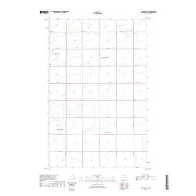
2017 Map of Westhope SE
USGS Topo · Published 2017About this map
The Weeks Cem stands as a focal point for family history in this portion of Bottineau County, situated among the township lines of t162n r81w and t162n r80w. The landscape is defined by the rigid grid of the Public Land Survey System, with an organized network of local roads including 100th St NW and 93rd St NW providing access to the agricultural parcels.
Find a feature on this map
20 named features on this map. Tap any name to fly to it.
Don’t see what you’re looking for? This feature index may not catch every label — zoom into the map to look around manually.
Map Details
Editions of this 2017 Westhope SE Map
This is the sole edition of this map. No revisions or reprints were ever made.
Other maps of this area

1949 · Maxbass
USGS Topo · 1:24,000

1949 · Eckman
USGS Topo · 1:24,000

1949 · Landa
USGS Topo · 1:24,000

1949 · Westhope SW
USGS Topo · 1:24,000

1949 · Landa SW
USGS Topo · 1:24,000

1950 · Newburg
USGS Topo · 1:24,000

1950 · Westhope SW
USGS Topo · 1:24,000

1950 · Landa
USGS Topo · 1:24,000

1950 · Landa SW
USGS Topo · 1:24,000

1951 · Westhope SE
USGS Topo · 1:24,000