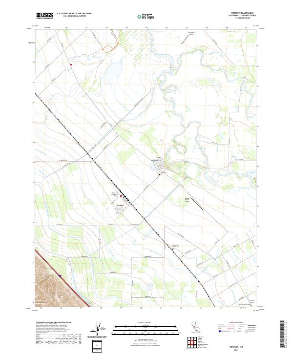
2021 Map of Westley
USGS Topo · Published 2021About this map
The San Joaquin River meanders through this agricultural landscape in the San Joaquin Valley, defining the eastern boundary of the settlement at Grayson. This 2021 survey illustrates a complex water management system vital to the region's productivity, featuring the massive Governor Edmund G Brown California Aqueduct and the Delta-Mendota Canal cutting through the western portion of the sheet. Between these major arteries lies a dense network of smaller channels, including the W Stanislaus Main Canal and several laterals like Lateral Five N.
Find a feature on this map
77 named features on this map. Tap any name to fly to it.
Don’t see what you’re looking for? This feature index may not catch every label — zoom into the map to look around manually.
Map Details
Editions of this 2021 Westley Map
This is the sole edition of this map. No revisions or reprints were ever made.
Other maps of this area
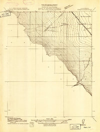
1913 · Romain
USGS Topo · 1:31,680
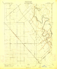
1915 · Vernalis
USGS Topo · 1:31,680
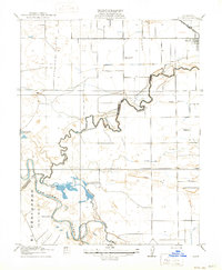
1915 · Ripon
USGS Topo · 1:31,680
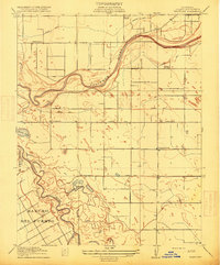
1915 · Westport
USGS Topo · 1:31,680
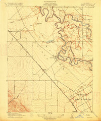
1915 · Westley
USGS Topo · 1:31,680
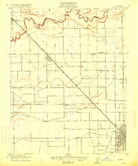
1915 · Salida
USGS Topo · 1:31,680
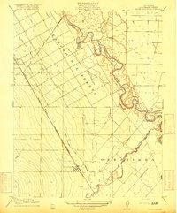
1916 · Crows Landing
USGS Topo · 1:31,680
1916 · Patterson
USGS Topo · 1:31,680
1916 · Romain
USGS Topo · 1:31,680
1919 · Orestimba
USGS Topo · 1:62,500