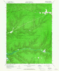
1966 Map of Westline
USGS Topo · Published 1967About this map
The Allegheny National Forest dominates this McKean County landscape, where deep-cut valleys and high plateaus reveal a region heavily defined by natural resource extraction during the mid-1960s. Oil wells and gas wells are scattered across the terrain, particularly near Marshburg and the Klondike area. The topographic data reflects the environmental shifts of the era, most notably the presence of the Allegheny Reservoir along the western edge, created by the damming of the Allegheny River.
Find a feature on this map
40 named features on this map. Tap any name to fly to it.
Don’t see what you’re looking for? This feature index may not catch every label — zoom into the map to look around manually.
Map Details
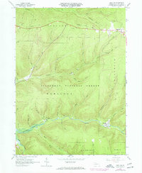
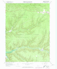
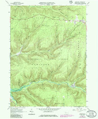
Editions of this 1966 Westline Map
4 editions found
Other maps of this area

1924 · Bradford
USGS Topo · 1:62,500

1926 · Bradford
USGS Topo · 1:62,500

1934 · Kane
USGS Topo · 1:48,000

1935 · Mt. Jewett
USGS Topo · 1:48,000

1936 · Kinzua
USGS Topo · 1:48,000

1939 · Kane
USGS Topo · 1:62,500

1940 · Mt. Jewett
USGS Topo · 1:62,500

1941 · Kinzua
USGS Topo · 1:62,500

1941 · Bradford
USGS Topo · 1:62,500

1944 · Bradford
USGS Topo · 1:62,500
Featured Places
- Lafayette Township, PA
- Wetmore Township, PA
- Hamlin Township, PA
- Hamilton Township, PA
- Westline, Lafayette Township