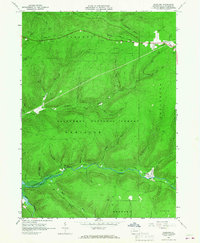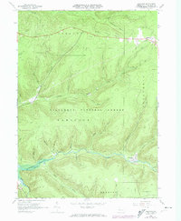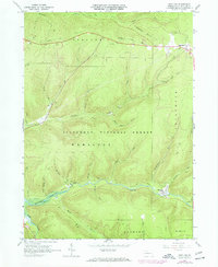
1966 Map of Westline
USGS Topo · Published 1973This historical map portrays the area of Westline in 1966, primarily covering McKean County. Featuring a scale of 1:24000, this map provides a highly detailed snapshot of the terrain, roads, buildings, counties, and historical landmarks in the Westline region at the time. Published in 1973, it is one of 4 known editions of this map due to revisions or reprints.
Map Details
Editions of this 1966 Westline Map
4 editions found
Historical Maps of McKean County Through Time
17 maps found
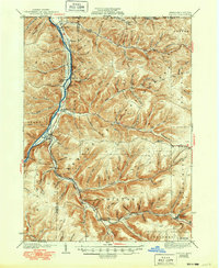
1936 Kinzua
McKean County, PA
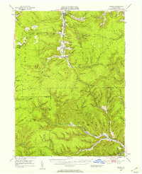
1941 Kinzua
McKean County, PA
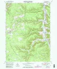
1948 Crosby
McKean County, PA
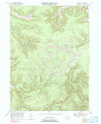
1948 Crosby
McKean County, PA
1948 Norwich
McKean County, PA
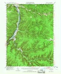
1949 Kinzua
McKean County, PA
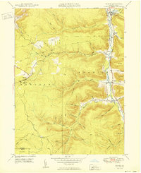
1950 Crosby
McKean County, PA
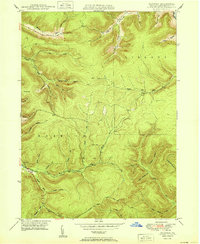
1950 Norwich
McKean County, PA
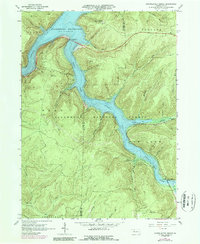
1966 Cornplanter Bridge
McKean County, PA
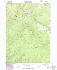
1966 Ludlow
McKean County, PA
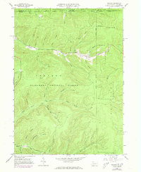
1966 Stickney
McKean County, PA
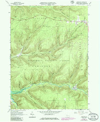
1966 Westline
McKean County, PA
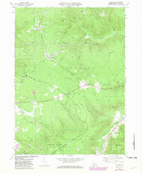
1969 Cyclone
McKean County, PA
1969 Derrick City
McKean County, PA
1969 Hazel Hurst
McKean County, PA
1969 Mt. Jewett
McKean County, PA
1970 Bullis Mills
McKean County, PA
