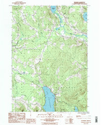
1986 Map of Westmore
USGS Topo · Published 1986About this map
Lake Willoughby dominates the southern landscape of this Orleans County survey, its deep basin framed by the steep rises of May Pond Mtn and Goodwin Mtn. The village of Westmore sits along the northeastern shore, serving as a hub for the area's transition from timber and small-scale agriculture toward a recreation-based economy. The presence of Willoughby State Forest and multiple Campgrounds reflects this shift, while the northern reaches of the map show a more industrial land use with several Gravel Pits and the winding course of the Clyde River. Local genealogy and land use can be traced through sites like the Cem near the lake’s head and the various brook-fed ponds, including Echo Lake and Pensioner Pond, which define the drainage patterns between the towns of Charleston and Brownington.
Find a feature on this map
30 named features on this map. Tap any name to fly to it.
Don’t see what you’re looking for? This feature index may not catch every label — zoom into the map to look around manually.
Map Details
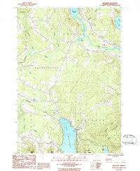
Editions of this 1986 Westmore Map
2 editions found
Other maps of this area

1919 · Lake Memphremagog
USGS Topo · 1:62,500

1920 · Derby
USGS Topo · 1:62,500

1923 · Lake Memphremagog
USGS Topo · 1:48,000

1924 · Island Pond
USGS Topo · 1:48,000

1925 · Memphremagog
USGS Topo · 1:62,500

1926 · Island Pond
USGS Topo · 1:62,500

1935 · Lyndonville
USGS Topo · 1:48,000

1939 · Lyndonville
USGS Topo · 1:62,500

1950 · Lake Champlain
USGS Topo · 1:250,000

1950 · Lewiston
USGS Topo · 1:250,000