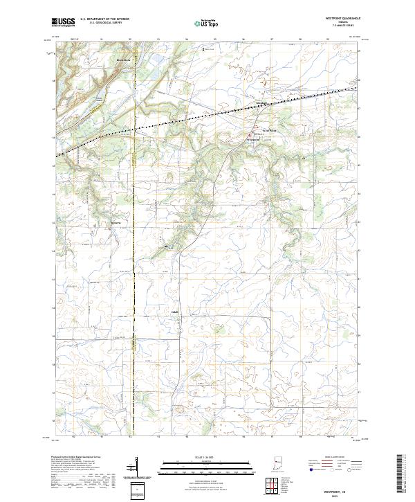
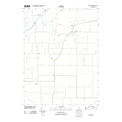
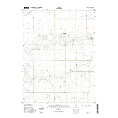
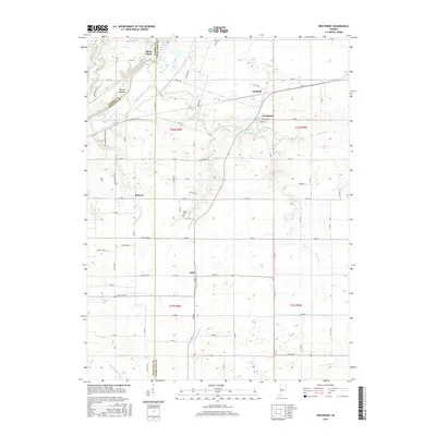
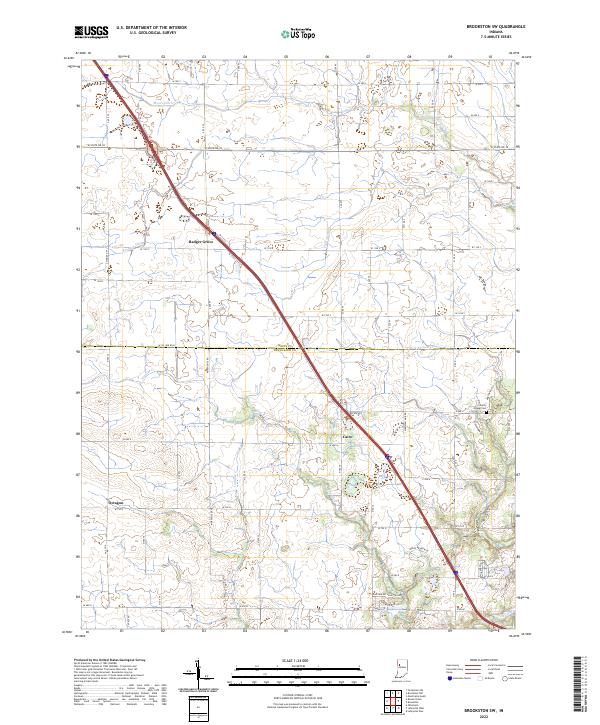
2022 Map of Westpoint
USGS Topo · Published 2022About this map
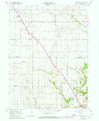
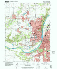
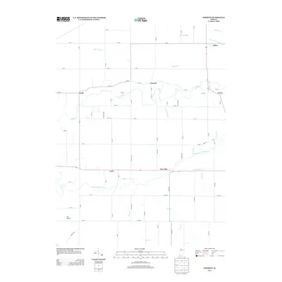
Westpoint sits as the primary hub in this rural landscape at the intersection of local history and modern transport. The area is defined by the sweeping curve of the Wabash River in the northwest, where the Fulton Islands and the landmark Black Rock overlook the water. Historically significant traces of early Indiana infrastructure are visible in the remnants of the Wabash and Erie Canal, which parallels the river.
Find a feature on this map
88 named features on this map. Tap any name to fly to it.
Don’t see what you’re looking for? This feature index may not catch every label — zoom into the map to look around manually.
Map Details
Editions of this 2022 Westpoint Map
This is the sole edition of this map. No revisions or reprints were ever made.
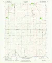
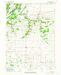
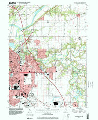
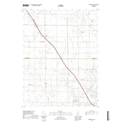
Historical Maps of Glenhall Through Time
38 maps found
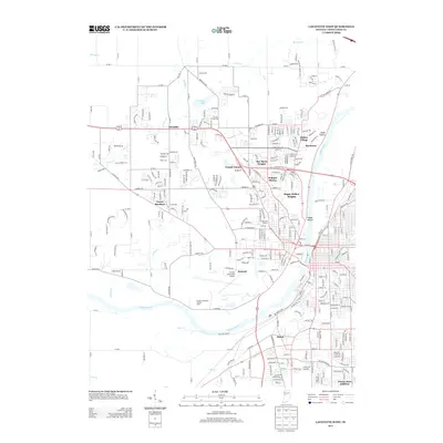
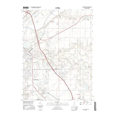
1961 Lafayette East
Tippecanoe County, IN
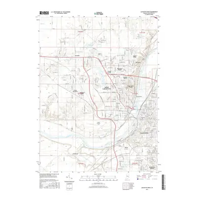
1961 Lafayette West
Tippecanoe County, IN
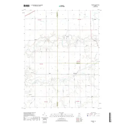
1961 Pyrmont
Tippecanoe County, IN
1962 Brookston SW
Tippecanoe County, IN
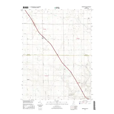
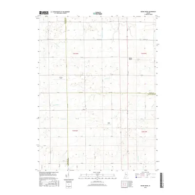
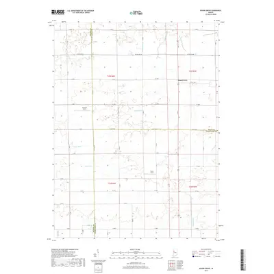
1962 Round Grove
Tippecanoe County, IN
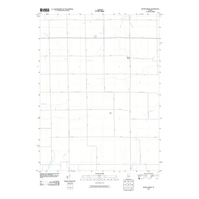
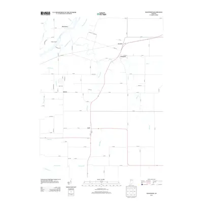
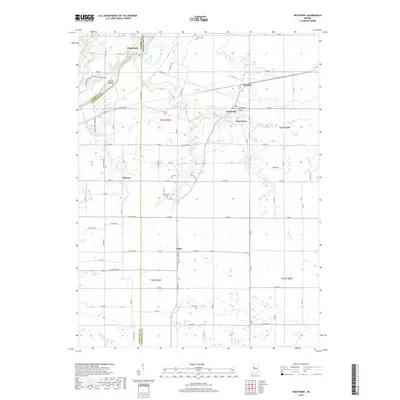
1962 Westpoint
Tippecanoe County, IN
1998 Lafayette East
Tippecanoe County, IN
1998 Lafayette West
Tippecanoe County, IN
2010 Brookston SW
Tippecanoe County, IN

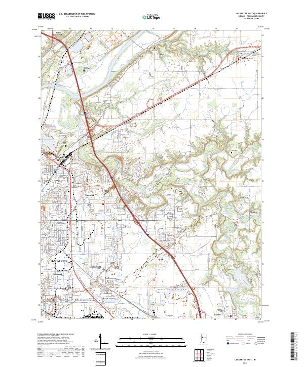
2010 Lafayette East
Tippecanoe County, IN
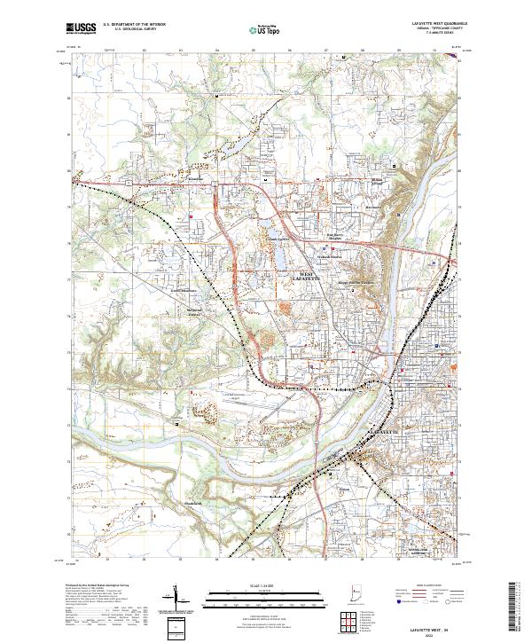
2010 Lafayette West
Tippecanoe County, IN
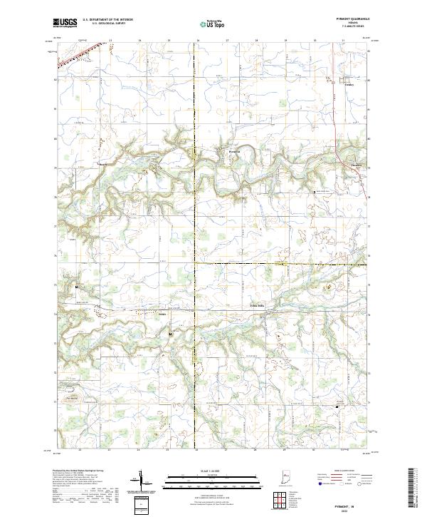
2010 Pyrmont
Tippecanoe County, IN
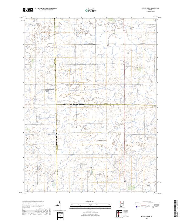
2010 Round Grove
Tippecanoe County, IN
2010 Westpoint
Tippecanoe County, IN
2013 Brookston SW
Tippecanoe County, IN
2013 Lafayette East
Tippecanoe County, IN
2013 Lafayette West
Tippecanoe County, IN
2013 Pyrmont
Tippecanoe County, IN

2013 Round Grove
Tippecanoe County, IN
2013 Westpoint
Tippecanoe County, IN
2016 Brookston SW
Tippecanoe County, IN
2016 Lafayette East
Tippecanoe County, IN
2016 Lafayette West
Tippecanoe County, IN
2016 Pyrmont
Tippecanoe County, IN
2016 Round Grove
Tippecanoe County, IN
2016 Westpoint
Tippecanoe County, IN
2019 Brookston SW
Tippecanoe County, IN
2019 Lafayette East
Tippecanoe County, IN
2019 Lafayette West
Tippecanoe County, IN
2019 Pyrmont
Tippecanoe County, IN
2019 Round Grove
Tippecanoe County, IN
2019 Westpoint
Tippecanoe County, IN
2022 Brookston SW
Tippecanoe County, IN
2022 Lafayette East
Tippecanoe County, IN
2022 Lafayette West
Tippecanoe County, IN
2022 Pyrmont
Tippecanoe County, IN
2022 Round Grove
Tippecanoe County, IN
2022 Westpoint
Tippecanoe County, IN