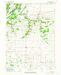
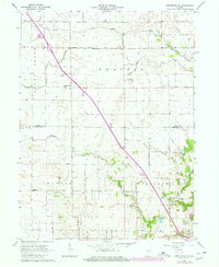
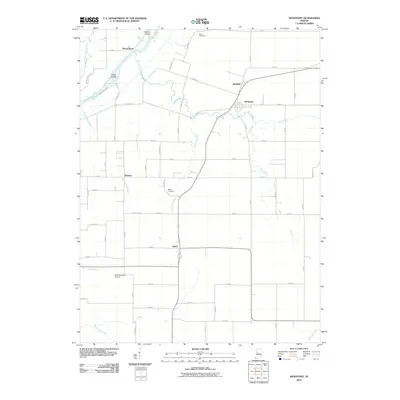
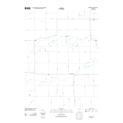
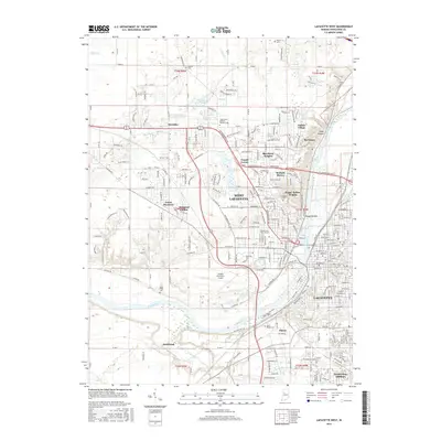
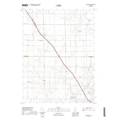
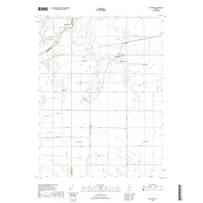
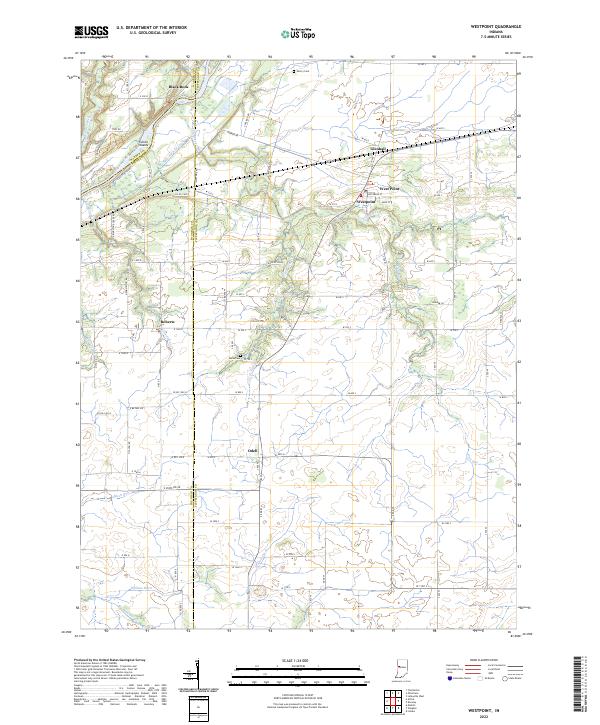
1962 Map of Westpoint
USGS Topo · Published 1964About this map
The Wabash River flows through the northern reaches of this survey, defining a landscape of riparian islands and historic boundaries. Near the river, the Fulton Islands and the high point at Black Rock stand as prominent natural landmarks. This area is bisected by the Old Indian Treaty Boundary, a notable cadastral line that cuts through the farmland of Tippecanoe County, Indiana. The rural settlement pattern is anchored by the village of Westpoint and smaller hamlets like Flint and Glenhall.
Find a feature on this map
36 named features on this map. Tap any name to fly to it.
Don’t see what you’re looking for? This feature index may not catch every label — zoom into the map to look around manually.
Map Details
Editions of this 1962 Westpoint Map
This is the sole edition of this map. No revisions or reprints were ever made.
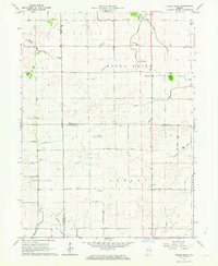
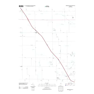
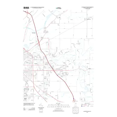
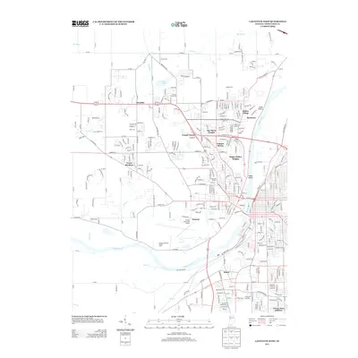
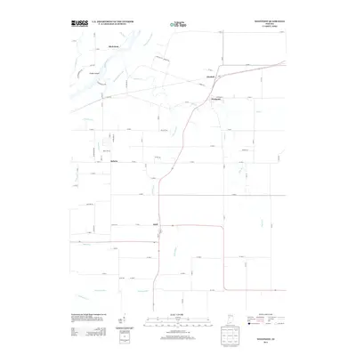
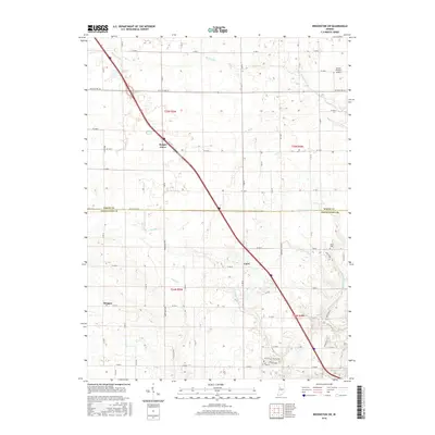
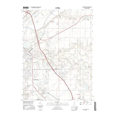
Historical Maps of Black Rock Through Time
38 maps found
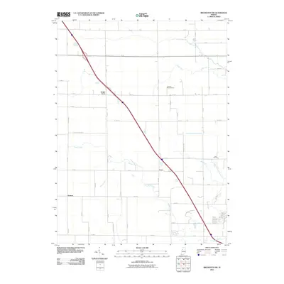
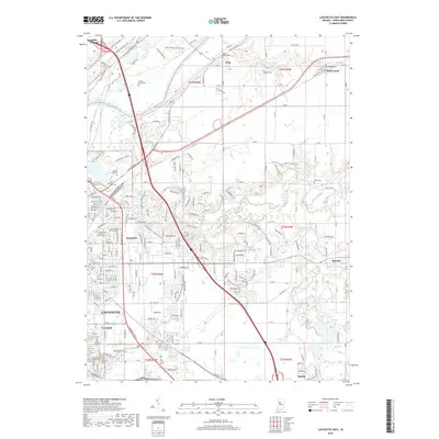
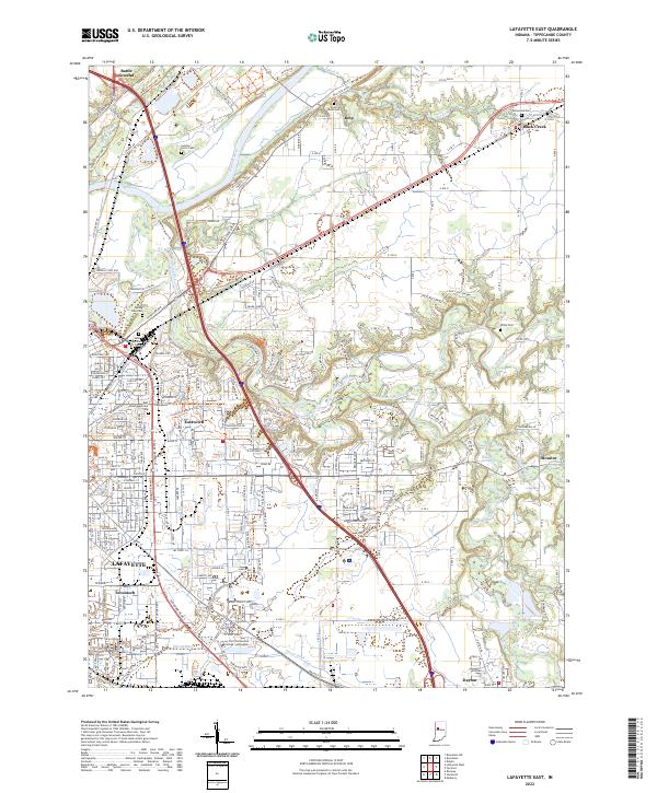
1961 Lafayette East
Tippecanoe County, IN
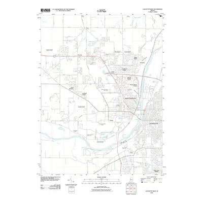
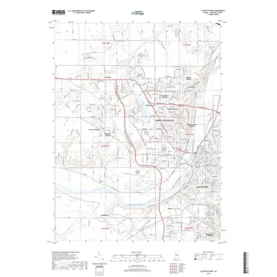
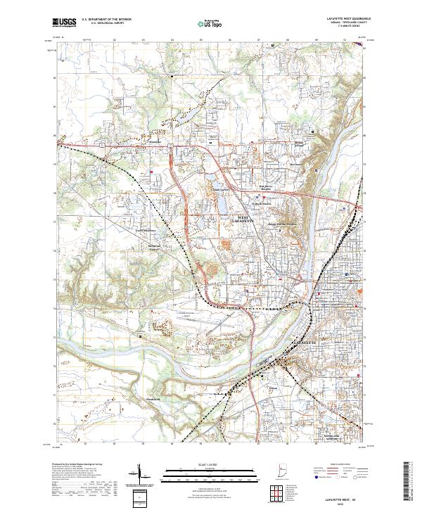
1961 Lafayette West
Tippecanoe County, IN
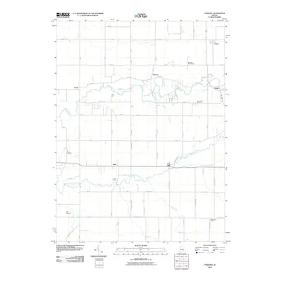
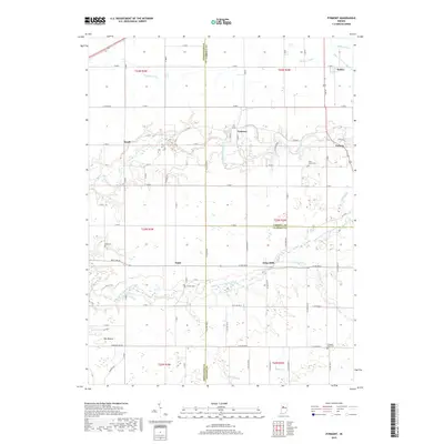
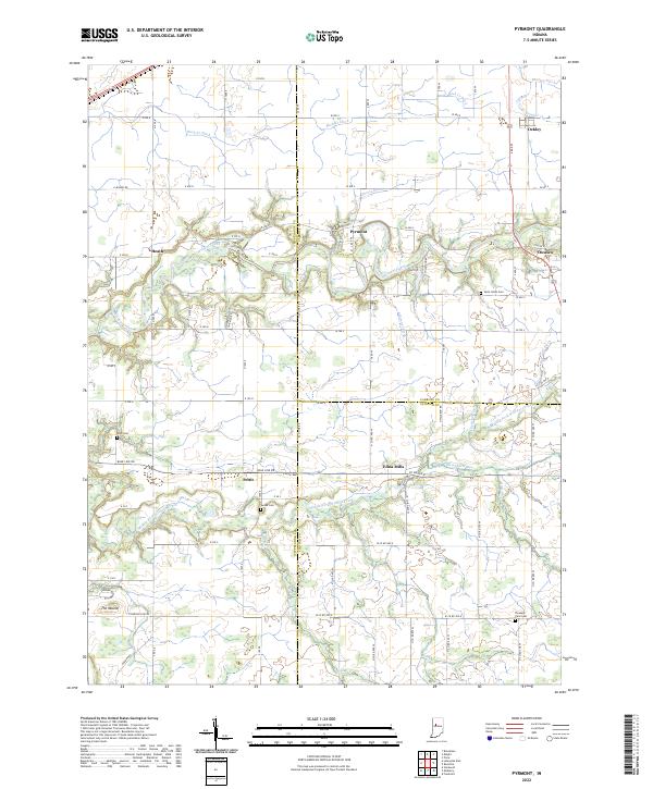
1961 Pyrmont
Tippecanoe County, IN
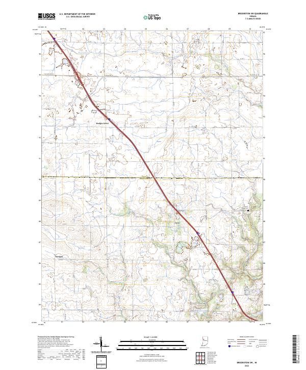
1962 Brookston SW
Tippecanoe County, IN
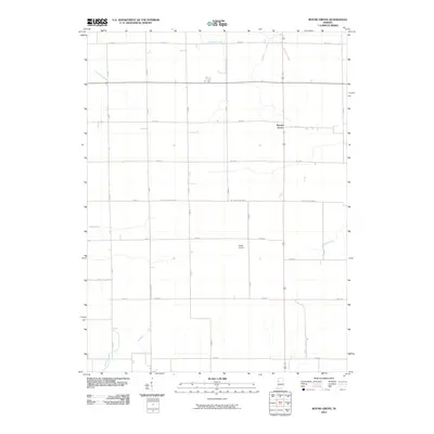
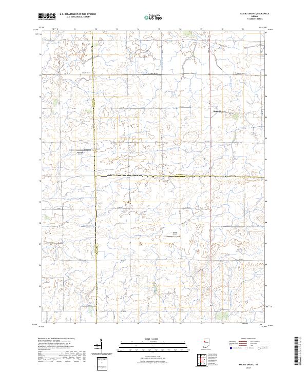
1962 Round Grove
Tippecanoe County, IN
1962 Westpoint
Tippecanoe County, IN
1998 Lafayette East
Tippecanoe County, IN
1998 Lafayette West
Tippecanoe County, IN
2010 Brookston SW
Tippecanoe County, IN

2010 Lafayette East
Tippecanoe County, IN
2010 Lafayette West
Tippecanoe County, IN
2010 Pyrmont
Tippecanoe County, IN
2010 Round Grove
Tippecanoe County, IN
2010 Westpoint
Tippecanoe County, IN
2013 Brookston SW
Tippecanoe County, IN
2013 Lafayette East
Tippecanoe County, IN
2013 Lafayette West
Tippecanoe County, IN
2013 Pyrmont
Tippecanoe County, IN

2013 Round Grove
Tippecanoe County, IN
2013 Westpoint
Tippecanoe County, IN
2016 Brookston SW
Tippecanoe County, IN
2016 Lafayette East
Tippecanoe County, IN
2016 Lafayette West
Tippecanoe County, IN
2016 Pyrmont
Tippecanoe County, IN
2016 Round Grove
Tippecanoe County, IN
2016 Westpoint
Tippecanoe County, IN
2019 Brookston SW
Tippecanoe County, IN
2019 Lafayette East
Tippecanoe County, IN
2019 Lafayette West
Tippecanoe County, IN
2019 Pyrmont
Tippecanoe County, IN
2019 Round Grove
Tippecanoe County, IN
2019 Westpoint
Tippecanoe County, IN
2022 Brookston SW
Tippecanoe County, IN
2022 Lafayette East
Tippecanoe County, IN
2022 Lafayette West
Tippecanoe County, IN
2022 Pyrmont
Tippecanoe County, IN
2022 Round Grove
Tippecanoe County, IN
2022 Westpoint
Tippecanoe County, IN