
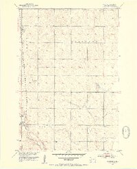
1952 Map of Westport
USGS Topo · Published 1954About this map
Westport and Barnard anchor this mid-century survey of Brown County, where the agricultural landscape is defined by the survey townships of Oneota, Brainard, and Garland. The Chicago Milwaukee St Paul and Pacific railroad runs north-south through both settlements, parallel to the slow-moving course of the Elm River. This watercourse is monitored by a Gaging Station just north of Westport, a critical point for managing the drainage of the Missouri River Basin. The landscape is dotted with smaller landmarks of rural life, including the Kelly Sch in the southeast and a Flowing Well in the central portion of the quadrangle. These features reflect a period when rural school districts and individual water sources were still central to the organization of South Dakota's prairie townships.
Find a feature on this map
11 named features on this map. Tap any name to fly to it.
Don’t see what you’re looking for? This feature index may not catch every label — zoom into the map to look around manually.
Map Details
Editions of this 1952 Westport Map
2 editions found
Other maps of this area

1894 · Ellendale
USGS Topo · 1:62,500

1894 · Columbia
USGS Topo · 1:62,500

1894 · Savo
USGS Topo · 1:62,500

1896 · Columbia
USGS Topo · 1:125,000

1899 · Ellendale
USGS Topo · 1:125,000

1952 · Columbia
USGS Topo · 1:24,000

1952 · Ordway
USGS Topo · 1:24,000

1952 · Columbia NE
USGS Topo · 1:24,000

1952 · Richmond NE
USGS Topo · 1:24,000

1953 · Savo SW
USGS Topo · 1:24,000