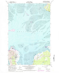
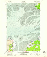
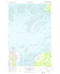
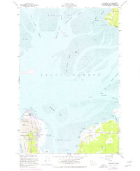
1956 Map of Westport
USGS Topo · Published 1984About this map
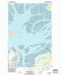
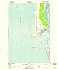
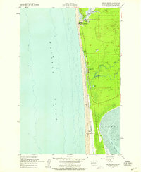
Pt Chehalis and the narrow spit of Westhaven anchor this coastal survey, where the Pacific Ocean meets the complex maritime environment of Grays Harbor. The map captures a landscape defined by shifting sands and navigational aids, featuring the Westport Light and a prominent Lighthouse near the Sand Dunes. While the western edge is dominated by the recreational and aviation activity of Westhaven State Park and the Westport Airport, the eastern shore along South Bay reveals an older industrial character. The presence of an Old Railroad Grade and Pier Ruins suggests the evolution of local commerce, while the Burlington Northern line tracks along the northern bluffs. From the tidal reaches of the Humptulips River to the inland waters of the Johns River Wildlife Recarea, the map documents a vital coastal interface before significant late-century development.
Find a feature on this map
45 named features on this map. Tap any name to fly to it.
Don’t see what you’re looking for? This feature index may not catch every label — zoom into the map to look around manually.
Map Details
Editions of this 1956 Westport Map
5 editions found
Other maps of this area
1938 · Moclips
USGS Topo · 1:62,500
1941 · Moclips
USGS Topo · 1:62,500
1941 · Grayland
USGS Topo · 1:62,500
1943 · Humptulips
USGS Topo · 1:62,500

1943 · Copalis Beach
USGS Topo · 1:250,000

1951 · Copalis Beach
USGS Topo · 1:250,000

1953 · Hoquiam
USGS Topo · 1:250,000
1955 · Humptulips
USGS Topo · 1:62,500
1955 · Point Brown
USGS Topo · 1:24,000
1955 · Copalis Beach
USGS Topo · 1:24,000