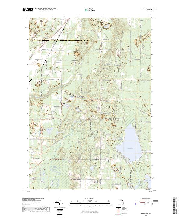
2023 Map of Westwood
USGS Topo · Published 2023About this map
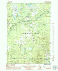
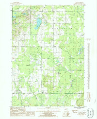
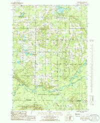
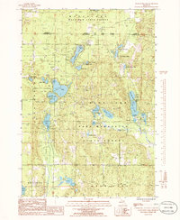
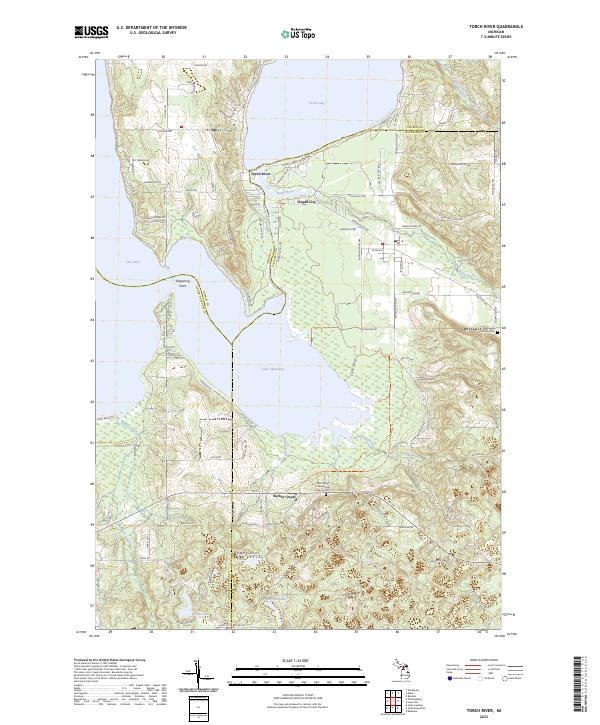
The Antrim and Kalkaska County line divides this landscape of interconnected glacial lakes and winding waterways. The settlement of Westwood sits near the northern boundary, while the village of Darragh and the community at Manistee Lake anchor the southern half. These pockets of development are linked by historic transit routes like the Mackinac Trl, which mirrors the drainage of the Rapid River and the North Branch Boardman River.
Find a feature on this map
120 named features on this map. Tap any name to fly to it.
Don’t see what you’re looking for? This feature index may not catch every label — zoom into the map to look around manually.
Map Details
Editions of this 2023 Westwood Map
This is the sole edition of this map. No revisions or reprints were ever made.
Historical Maps of Antrim County Through Time
19 maps found
1949 Black Creek
Kalkaska County, MI

1949 Fletcher
Kalkaska County, MI
1950 Fletcher
Kalkaska County, MI

1983 Torch River
Kalkaska County, MI
1985 Leetsville
Kalkaska County, MI
1985 Sharon
Kalkaska County, MI
1985 Sigma
Kalkaska County, MI
1985 Smithville
Kalkaska County, MI
1985 Starvation Lake
Kalkaska County, MI
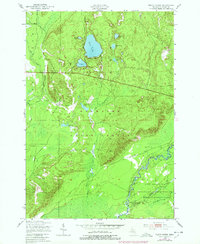
1985 Westwood
Kalkaska County, MI
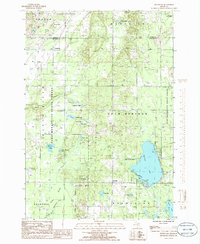
2023 Black Creek
Kalkaska County, MI
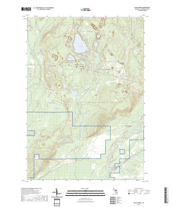
2023 Fletcher
Kalkaska County, MI
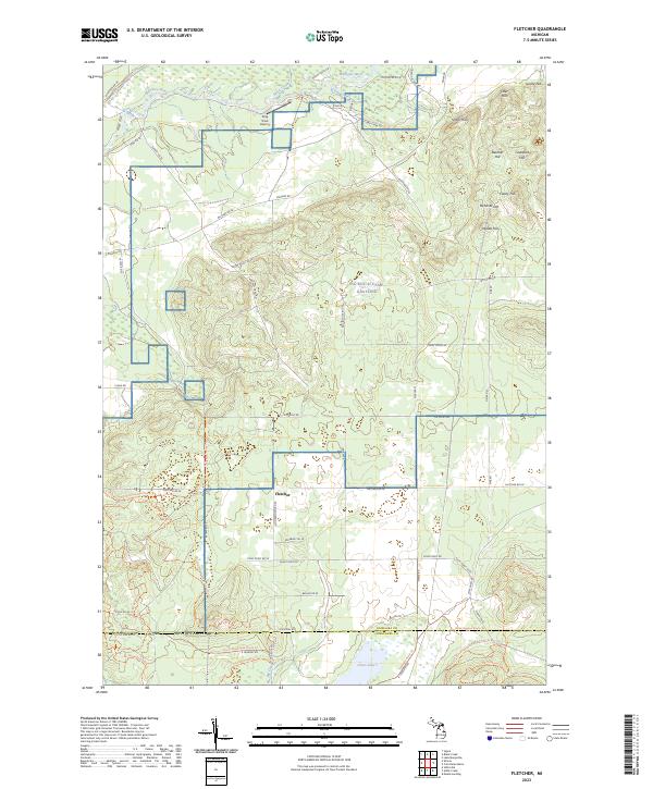
2023 Leetsville
Kalkaska County, MI
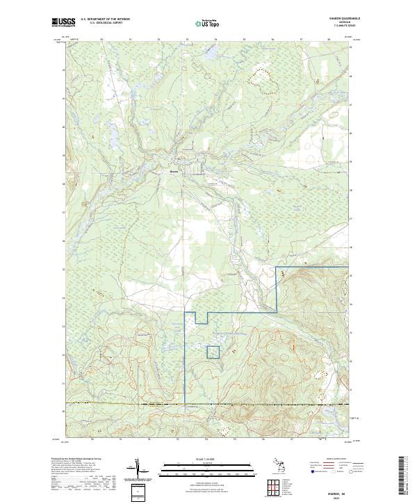
2023 Sharon
Kalkaska County, MI
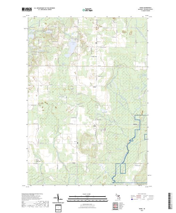
2023 Sigma
Kalkaska County, MI
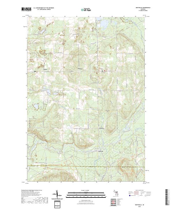
2023 Smithville
Kalkaska County, MI
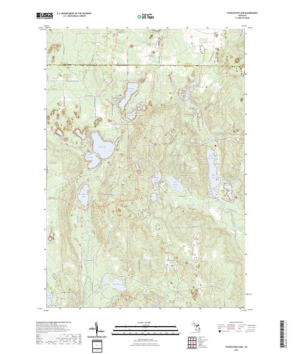
2023 Starvation Lake
Kalkaska County, MI
2023 Torch River
Kalkaska County, MI
2023 Westwood
Kalkaska County, MI
Featured Locations
- Custer Township, MI
- Coldsprings Township, MI
- Rapid River Township, MI
- Westwood, Rapid River Township
- Darragh, Coldsprings Township