
1955 Map of Westwood
USGS Topo · Published 1957About this map
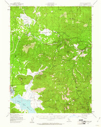
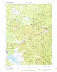
Westwood and its surroundings in the mid-1950s reflect a landscape shaped by timber, ranching, and the expansion of mountain infrastructure. The Southern Pacific and Western Pacific railroads dominate the northern and eastern corridors, while an old railroad grade near Hog Flat Reservoir suggests earlier logging activity. To the south, the community of Westwood is anchored by the Westwood Cemetery and sits near the massive Mountain Meadows Reservoir. The presence of numerous family-named landmarks like Stephens Ranch, Bunnel Ranch, and Willard Ranch, along with the Flemings Sheep Camp, points to a resilient high-country agricultural economy. High-altitude coordination is evident through the Radio Relay Sta and Ski Lift near Fredonyer Pass, while the Coppervale Guard Sta underscores the active management of the Lassen National Forest during this era.
Find a feature on this map
53 named features on this map. Tap any name to fly to it.
Don’t see what you’re looking for? This feature index may not catch every label — zoom into the map to look around manually.
Map Details
Editions of this 1955 Westwood Map
3 editions found
Other maps of this area

1886 · Honey Lake
USGS Topo · 1:250,000

1886 · Lassen Peak
USGS Topo · 1:250,000

1891 · Honey Lake
USGS Topo · 1:250,000

1892 · Lassen Peak
USGS Topo · 1:250,000

1893 · Honey Lake
USGS Topo · 1:250,000

1894 · Lassen Peak
USGS Topo · 1:250,000

1939 · Halls Flat
USGS Topo · 1:125,000

1950 · Kettle Rock
USGS Topo · 1:62,500

1950 · Greenville
USGS Topo · 1:62,500

1954 · Susanville
USGS Topo · 1:62,500