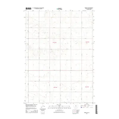
2015 Map of Wewela NE
USGS Topo · Published 2015About this map
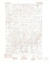
Ponca Cr winds through the northern portion of this South Dakota landscape, providing a primary drainage feature for the surrounding section lands. The terrain is organized by a strict grid of section lines and range boundaries, including t97n r76w and t97n r75w, which dictate the placement of local transport routes. This 2015 survey illustrates a rural environment defined by vast open tracts and an established network of gravel and dirt roads like 315th Ave and 288th St. The absence of dense town centers highlights the agricultural and ranching character of Tripp County, where life follows the deliberate geometric boundaries of the Public Land Survey System. Researchers can observe how contemporary land use remains tethered to these historic townships, even as the landscape maintains its characteristic prairie isolation.
Find a feature on this map
20 named features on this map. Tap any name to fly to it.
Don’t see what you’re looking for? This feature index may not catch every label — zoom into the map to look around manually.
Map Details
Editions of this 2015 Wewela NE Map
This is the sole edition of this map. No revisions or reprints were ever made.
Other maps of this area

1955 · Mitchell
USGS Topo · 1:250,000

1959 · Mitchell
USGS Topo · 1:250,000

1964 · Dallas SW
USGS Topo · 1:24,000

1964 · Dallas NW
USGS Topo · 1:24,000

1971 · Colome
USGS Topo · 1:24,000
1982 · Wewela
USGS Topo · 1:24,000
1982 · Millboro
USGS Topo · 1:24,000

1982 · Winner South
USGS Topo · 1:25,000
1982 · Wewela NE
USGS Topo · 1:24,000
1982 · Dog Ear Buttes
USGS Topo · 1:25,000