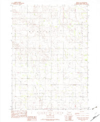
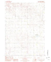
1982 Map of Wewela NE
USGS Topo · Published 1982About this map
Mc Neely and Pleasant View townships anchor the northern portion of this 1982 provisional survey, which documents a sparsely populated stretch of southern South Dakota. The map illustrates a landscape defined by sectional boundaries and localized natural resources, such as the Gravel Pit located in the northeastern quadrant. Moving south into Lake and Stewart townships, the topography remains predominantly rural, characterized by small drainages and isolated depressions that influence the placement of local roads. This survey, compiled from 1974 aerial photography, serves as a high-fidelity record of the rural infrastructure and township divisions during a period when these agricultural districts maintained their traditional administrative boundaries. It is particularly useful for identifying specific land parcels and minor topographic features that were central to the local economy and land management in the late twentieth century.
Find a feature on this map
5 named features on this map. Tap any name to fly to it.
Don’t see what you’re looking for? This feature index may not catch every label — zoom into the map to look around manually.
Map Details
Editions of this 1982 Wewela NE Map
This is the sole edition of this map. No revisions or reprints were ever made.
Other maps of this area

1955 · Mitchell
USGS Topo · 1:250,000

1959 · Mitchell
USGS Topo · 1:250,000

1964 · Dallas SW
USGS Topo · 1:24,000

1964 · Dallas NW
USGS Topo · 1:24,000

1971 · Colome
USGS Topo · 1:24,000
1982 · Wewela
USGS Topo · 1:24,000
1982 · Millboro
USGS Topo · 1:24,000

1982 · Winner South
USGS Topo · 1:25,000
1982 · Dog Ear Buttes
USGS Topo · 1:25,000
1982 · Dog Ear Lake
USGS Topo · 1:24,000