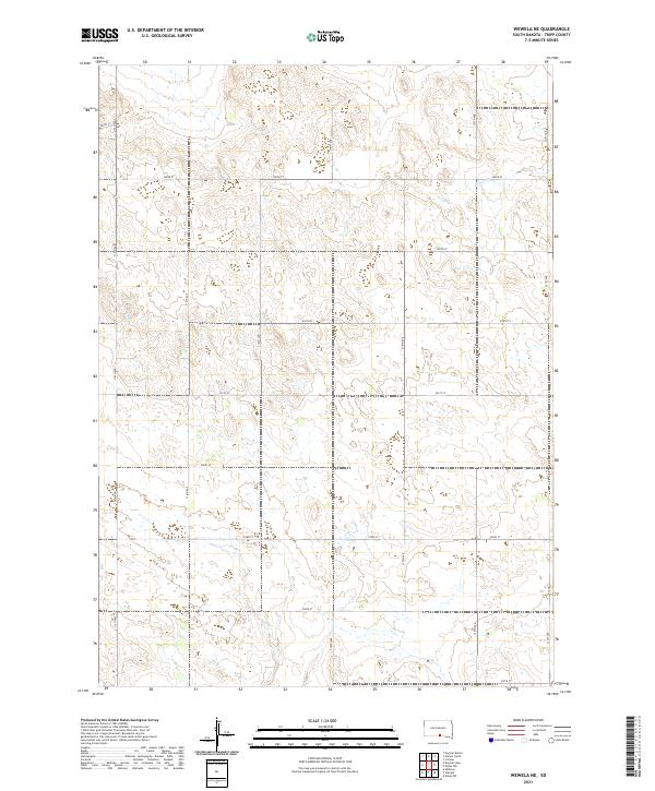
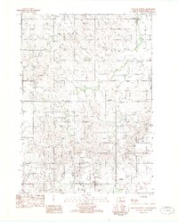
2021 Map of Wewela NE
USGS Topo · Published 2021About this map
Ponca Cr winds through the northern sections of this rural landscape in eastern Tripp County, defining the primary drainage for the area. The terrain is characterized by a series of low ridges and intermittent wetlands, organized by the strict geometry of the Public Land Survey System. A network of section-line roads, including 318th Ave and 287th St, provides access across the townships of t97n r76w and t96n r76w. These gravel and dirt routes serve as the primary infrastructure for this ranching and agricultural region, where the natural contours of the land often contrast with the rigid grid of human settlement. This modern survey reflects the enduring character of the High Plains, showing how the local road system adapts to the subtle elevations and watercourses that shape the southern South Dakota prairie.
Find a feature on this map
21 named features on this map. Tap any name to fly to it.
Don’t see what you’re looking for? This feature index may not catch every label — zoom into the map to look around manually.
Map Details
Editions of this 2021 Wewela NE Map
This is the sole edition of this map. No revisions or reprints were ever made.
Other maps of this area

1955 · Mitchell
USGS Topo · 1:250,000

1959 · Mitchell
USGS Topo · 1:250,000

1964 · Dallas SW
USGS Topo · 1:24,000

1964 · Dallas NW
USGS Topo · 1:24,000

1971 · Colome
USGS Topo · 1:24,000
1982 · Wewela
USGS Topo · 1:24,000
1982 · Millboro
USGS Topo · 1:24,000

1982 · Winner South
USGS Topo · 1:25,000
1982 · Wewela NE
USGS Topo · 1:24,000
1982 · Dog Ear Buttes
USGS Topo · 1:25,000