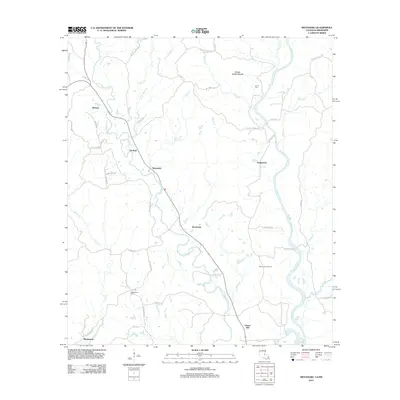
2012 Map of Weyanoke
USGS Topo · Published 2012About this map
Greenwood Plantation and the surrounding woodlands of Sleepy Hollow Woods define this river-influenced landscape in West Feliciana Parish. The winding courses of Bayou Sara and Little Bayou Sara dictate the local geography, anchoring a network of small settlements such as Weyanoke, Hollywood, and Rosebank. The presence of the Bayou Sara Oil Field near the center of the sheet indicates the ongoing industrial utility of the land, while older sites like Greenwood Cem and Evans Cem provide essential touchstones for genealogical research. A series of country roads, including Old Tunica Rd and Magnolia Rd, connect these communities through the low-lying terrain. This 2012 survey illustrates how modern development and energy extraction coexist with the legacy of large rural estates and traditional Southern settlements along the state line.
Find a feature on this map
54 named features on this map. Tap any name to fly to it.
Don’t see what you’re looking for? This feature index may not catch every label — zoom into the map to look around manually.
Map Details
Editions of this 2012 Weyanoke Map
This is the sole edition of this map. No revisions or reprints were ever made.
Other maps of this area

1906 · Bayou Sara
USGS Topo · 1:125,000

1936 · Woodville
USGS Topo · 1:62,500

1939 · St. Francisville
USGS Topo · 1:62,500

1939 · Artonish
USGS Topo · 1:62,500

1941 · Batchelor
USGS Topo · 1:62,500

1953 · Natchez
USGS Topo · 1:250,000

1954 · Elm Park
USGS Topo · 1:24,000

1954 · Artonish
USGS Topo · 1:62,500

1954 · Baton Rouge
USGS Topo · 1:250,000

1955 · Artonish
USGS Topo · 1:62,500