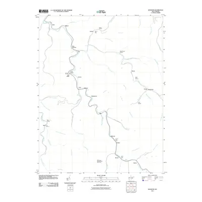
2011 Map of Wharton
USGS Topo · Published 2011About this map
Pond Fork serves as the central geographic spine for this area of West Virginia, where small coal-country settlements follow the winding river valley. Along this corridor, distinctive hamlets such as Marthatown, Bim, and Pondco were established near the water's edge and the rail line. The importance of local mail service to these tight-knit communities is evident through the numerous federal outposts, including the Gordon Post Office, Bob White Post Office, and Barrett Post Office.
Find a feature on this map
67 named features on this map. Tap any name to fly to it.
Don’t see what you’re looking for? This feature index may not catch every label — zoom into the map to look around manually.
Map Details
Editions of this 2011 Wharton Map
This is the sole edition of this map. No revisions or reprints were ever made.
Other maps of this area

1891 · Oceana
USGS Topo · 1:125,000

1893 · Oceana
USGS Topo · 1:125,000

1898 · Oceana
USGS Topo · 1:125,000

1899 · Charleston
USGS Topo · 1:125,000

1909 · Peytona
USGS Topo · 1:48,000

1910 · Bald Knob
USGS Topo · 1:48,000

1911 · Peytona
USGS Topo · 1:62,500

1911 · Madison
USGS Topo · 1:62,500

1912 · Bald Knob
USGS Topo · 1:62,500

1913 · Logan
USGS Topo · 1:62,500