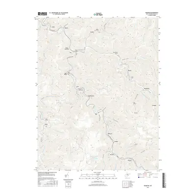
2016 Map of Wharton
USGS Topo · Published 2016About this map
Pond Fork and its winding tributaries define the settlement patterns of this Boone County landscape, where narrow valleys are home to a dense sequence of coal-country communities. The CSX rail line follows the water's edge, serving a string of towns including Van, Bob White, Bim, and Wharton. Industrial activity is evident at the Wharton Number Two Mine Slurry Pond, illustrating the regional reliance on the extraction economy during the early twenty-first century. For those tracing local heritage, the map identifies family-centered landmarks like the Thom Cline Memorial Bridge and several burial grounds, including Middle Ferrell Cem and Hatfield Cem. The terrain is characterized by steep hollows such as Indian Hollow and Duck Brown Hollow, which have historically constrained development to the floors of the W Fork Pond Fork and its branches.
Find a feature on this map
79 named features on this map. Tap any name to fly to it.
Don’t see what you’re looking for? This feature index may not catch every label — zoom into the map to look around manually.
Map Details
Editions of this 2016 Wharton Map
This is the sole edition of this map. No revisions or reprints were ever made.
Other maps of this area

1891 · Oceana
USGS Topo · 1:125,000

1893 · Oceana
USGS Topo · 1:125,000

1898 · Oceana
USGS Topo · 1:125,000

1899 · Charleston
USGS Topo · 1:125,000

1909 · Peytona
USGS Topo · 1:48,000

1910 · Bald Knob
USGS Topo · 1:48,000

1911 · Peytona
USGS Topo · 1:62,500

1911 · Madison
USGS Topo · 1:62,500

1912 · Bald Knob
USGS Topo · 1:62,500

1913 · Logan
USGS Topo · 1:62,500