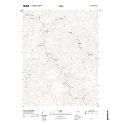
2019 Map of Wharton
USGS Topo · Published 2019About this map
Pond Fork carves a deep path through Boone County, serving as the primary corridor for a series of mountain settlements connected by Pond Fork Rd. This 2019 survey captures the tight-knit geography of the Coal River valley, where towns like Marthatown, Van, and Wharton cling to the narrow valley floors beneath heights like Cook Mtn. The map reveals a landscape defined by its hollows and branches, such as Duck Brown Hollow and Indian Hollow, which have dictated local development for generations. Genealogical interest is high given the inclusion of several family and community burial sites, including the Middle Ferrell Cem near Marnie and the Hatfield Cem south of Pondeo. The infrastructure here reflects both the rugged topography and the importance of transportation, exemplified by the Thom Cline Memorial Bridge crossing at Van.
Find a feature on this map
80 named features on this map. Tap any name to fly to it.
Don’t see what you’re looking for? This feature index may not catch every label — zoom into the map to look around manually.
Map Details
Editions of this 2019 Wharton Map
This is the sole edition of this map. No revisions or reprints were ever made.
Other maps of this area

1891 · Oceana
USGS Topo · 1:125,000

1893 · Oceana
USGS Topo · 1:125,000

1898 · Oceana
USGS Topo · 1:125,000

1899 · Charleston
USGS Topo · 1:125,000

1909 · Peytona
USGS Topo · 1:48,000

1910 · Bald Knob
USGS Topo · 1:48,000

1911 · Peytona
USGS Topo · 1:62,500

1911 · Madison
USGS Topo · 1:62,500

1912 · Bald Knob
USGS Topo · 1:62,500

1913 · Logan
USGS Topo · 1:62,500