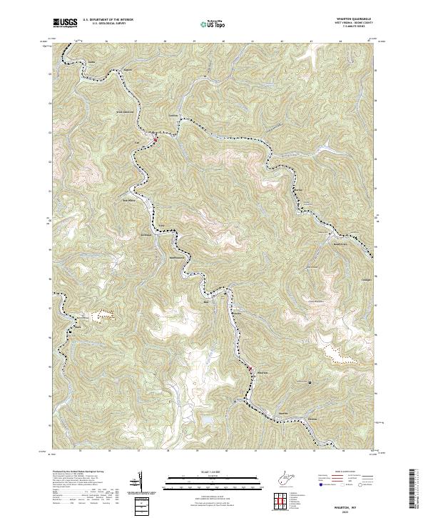
2023 Map of Wharton
USGS Topo · Published 2023About this map
Pond Fork and its various tributaries, including the West Fork Pond Fork, dictate the settlement pattern of this Boone County landscape. The rugged topography is dotted with small coal-country communities such as Van, Bob White, Kohlsaat, and Bandytown. These hamlets are often centered around the narrow valley floors, connected by routes like Pond Fork Rd and Chap Rd.
Find a feature on this map
79 named features on this map. Tap any name to fly to it.
Don’t see what you’re looking for? This feature index may not catch every label — zoom into the map to look around manually.
Map Details
Editions of this 2023 Wharton Map
This is the sole edition of this map. No revisions or reprints were ever made.
Other maps of this area

1891 · Oceana
USGS Topo · 1:125,000

1893 · Oceana
USGS Topo · 1:125,000

1898 · Oceana
USGS Topo · 1:125,000

1899 · Charleston
USGS Topo · 1:125,000

1909 · Peytona
USGS Topo · 1:48,000

1910 · Bald Knob
USGS Topo · 1:48,000

1911 · Peytona
USGS Topo · 1:62,500

1911 · Madison
USGS Topo · 1:62,500

1912 · Bald Knob
USGS Topo · 1:62,500

1913 · Logan
USGS Topo · 1:62,500