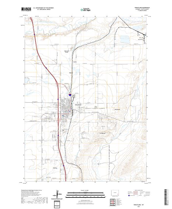
2021 Map of Wheatland
USGS Topo · Published 2021About this map
Wheatland serves as the focal point of this Platte County landscape, centered around the Platte County Courthouse and a dense network of residential streets such as W Walnut St and Gilchrist St. The region is defined by an extensive irrigation system essential for high-plains agriculture, including the Laramie River Ditch Number 1, Uva Ditch, and Highline Ditch, which draw from the Laramie River. These waterworks intersect with a series of smaller rural communities and family-named landmarks like Curtis, Sibylee, and the Y-O Ranch.
Find a feature on this map
91 named features on this map. Tap any name to fly to it.
Don’t see what you’re looking for? This feature index may not catch every label — zoom into the map to look around manually.
Map Details
Editions of this 2021 Wheatland Map
This is the sole edition of this map. No revisions or reprints were ever made.
Other maps of this area
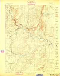
1896 · Hartville
USGS Topo · 1:125,000
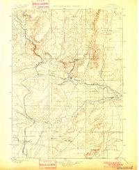
1901 · Hartville
USGS Topo · 1:125,000
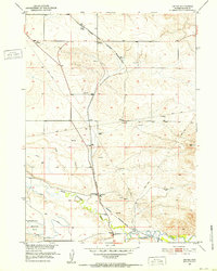
1951 · Dwyer
USGS Topo · 1:24,000
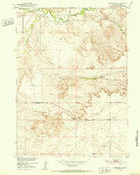
1951 · Antelope Gap
USGS Topo · 1:24,000
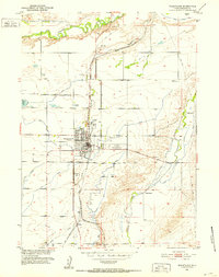
1951 · Wheatland
USGS Topo · 1:24,000
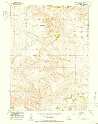
1951 · Wheatland NE
USGS Topo · 1:24,000
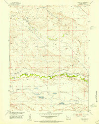
1953 · Lewis Flat
USGS Topo · 1:24,000
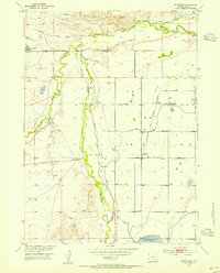
1953 · Hightower
USGS Topo · 1:24,000
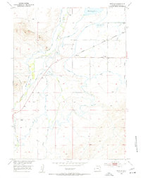
1953 · Natwick
USGS Topo · 1:24,000
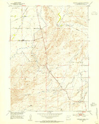
1953 · Ferguson Corner
USGS Topo · 1:24,000