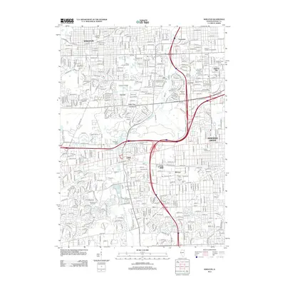
2012 Map of Wheaton
USGS Topo · Published 2012About this map
Wheaton and its surrounding suburbs appear here as a densely developed educational and institutional hub in DuPage County. The landscape is defined by its numerous centers of higher learning, including the historic campus of Wheaton College, the sprawling College of DuPage, and Benedictine University to the south. Modern commercial development is highlighted by the Corporetum Office Campus and Corporetum Office Towers, positioned near the major transportation corridors of Butterfield Rd and Ogden Ave.
Find a feature on this map
45 named features on this map. Tap any name to fly to it.
Don’t see what you’re looking for? This feature index may not catch every label — zoom into the map to look around manually.
Map Details
Editions of this 2012 Wheaton Map
This is the sole edition of this map. No revisions or reprints were ever made.
Other maps of this area

1890 · Des Plaines
USGS Topo · 1:62,500

1891 · Riverside
USGS Topo · 1:62,500

1892 · Joliet
USGS Topo · 1:62,500

1893 · Riverside
USGS Topo · 1:62,500

1894 · Des Plaines
USGS Topo · 1:62,500

1900 · Des Plaines
USGS Topo · 1:62,500

1900 · Riverside
USGS Topo · 1:62,500

1901 · Des Plaines
USGS Topo · 1:62,500

1901 · Riverside
USGS Topo · 1:62,500

1908 · Wheaton
USGS Topo · 1:62,500