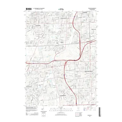
2015 Map of Wheaton
USGS Topo · Published 2015About this map
Wheaton and its surrounding Illinois suburbs appear here during a period of dense residential and institutional development. The landscape is defined by its extensive network of named ponds and lakes, including Lambert Lake, Wheatonico Pond, and Lake Saint Benedict, which are fed by the E Br Du Page River and smaller tributaries like Lacey Cr and Willoway Brook. This aquatic geography is interspersed with significant educational campuses such as Benedictine Univ and the Coll of DuPage, alongside residential enclaves like Flowerfield, Arboretum Estates, and Foxcroft.
Find a feature on this map
89 named features on this map. Tap any name to fly to it.
Don’t see what you’re looking for? This feature index may not catch every label — zoom into the map to look around manually.
Map Details
Editions of this 2015 Wheaton Map
This is the sole edition of this map. No revisions or reprints were ever made.
Other maps of this area

1890 · Des Plaines
USGS Topo · 1:62,500

1891 · Riverside
USGS Topo · 1:62,500

1892 · Joliet
USGS Topo · 1:62,500

1893 · Riverside
USGS Topo · 1:62,500

1894 · Des Plaines
USGS Topo · 1:62,500

1900 · Des Plaines
USGS Topo · 1:62,500

1900 · Riverside
USGS Topo · 1:62,500

1901 · Des Plaines
USGS Topo · 1:62,500

1901 · Riverside
USGS Topo · 1:62,500

1908 · Wheaton
USGS Topo · 1:62,500