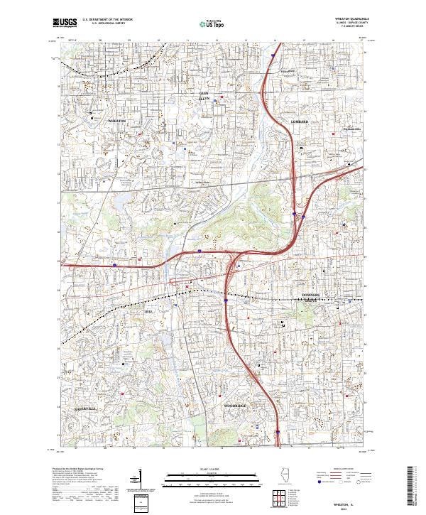
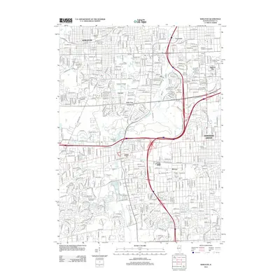
2024 Map of Wheaton
USGS Topo · Published 2024About this map
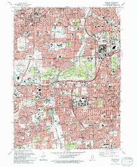
The East Branch Du Page River flows through a landscape defined by its deep institutional and educational roots in DuPage County. This modern survey details the significant growth of Wheaton, Lisle, and Downers Grove, showing how residential expansion has integrated with historical grounds. A remarkable concentration of cemeteries, including the Morton Family Cem and the Pierce Downer Cem, provides a map for genealogists tracking early settlers and local legacies. Higher education anchors several neighborhoods, with Wheaton College to the north and Benedictine University - Lisle Campus situated near Lake Saint Benedict. The transportation network is built around the BNSF Railway corridor, which historically spurred the development of these suburbs. From the wetlands of Danada Swamp to the developed reaches of Naperville, the map documents the dense suburban character of the Chicago metropolitan periphery.
Find a feature on this map
59 named features on this map. Tap any name to fly to it.
Don’t see what you’re looking for? This feature index may not catch every label — zoom into the map to look around manually.
Map Details
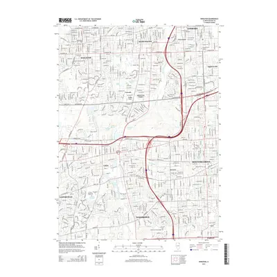
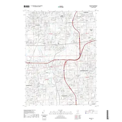
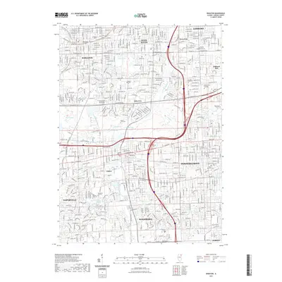
Editions of this 2024 Wheaton Map
This is the sole edition of this map. No revisions or reprints were ever made.
Historical Maps of Naperville Through Time
12 maps found
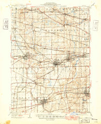
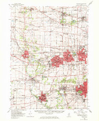
1908 Wheaton
DuPage County, IL
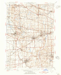
1948 Wheaton
DuPage County, IL
1954 Wheaton
DuPage County, IL
1954 Wheaton
DuPage County, IL
1962 Wheaton
DuPage County, IL
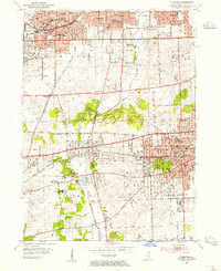
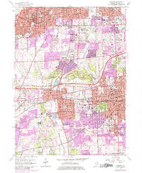
1993 Wheaton
DuPage County, IL
1998 Wheaton
DuPage County, IL
2012 Wheaton
DuPage County, IL
2015 Wheaton
DuPage County, IL
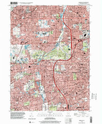
2018 Wheaton
DuPage County, IL
2021 Wheaton
DuPage County, IL
2024 Wheaton
DuPage County, IL