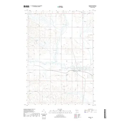
2018 Map of Wheeler
USGS Topo · Published 2018About this map
Wheeler serves as the primary hub for this area of Dunn County, situated where the Hay River meets its southern fork. The settlement's layout is defined by the corridor of W Railroad Avenue and Sawmill Road, reflecting a landscape historically shaped by timber and transport. The surrounding rural townships are divided by an intricate network of waterways, including Big Beaver Creek and Otter Creek, which weave through the agricultural sections. For those researching local family history, the map preserves the locations of Hay River Cemetery and Our Saviors Cemetery, positioned north and south of the main village respectively. The convergence of South Fork Hay River and the main river branch near the town center highlights the importance of these drainage systems in the original platting of the region's roads and property lines.
Find a feature on this map
51 named features on this map. Tap any name to fly to it.
Don’t see what you’re looking for? This feature index may not catch every label — zoom into the map to look around manually.
Map Details
Editions of this 2018 Wheeler Map
This is the sole edition of this map. No revisions or reprints were ever made.
Other maps of this area

1940 · Menomonie
USGS Topo · 1:62,500

1942 · Menomonie
USGS Topo · 1:62,500

1946 · Knapp
USGS Topo · 1:62,500

1948 · Downing
USGS Topo · 1:62,500

1949 · Knapp
USGS Topo · 1:62,500

1949 · Ridgeland
USGS Topo · 1:62,500

1950 · Downing
USGS Topo · 1:62,500

1951 · Ridgeland
USGS Topo · 1:62,500

1953 · Saint Paul
USGS Topo · 1:250,000

1953 · Eau Claire
USGS Topo · 1:250,000